Loading...
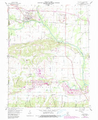
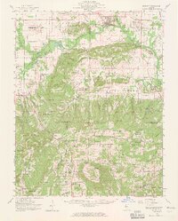
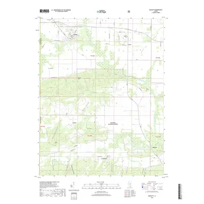
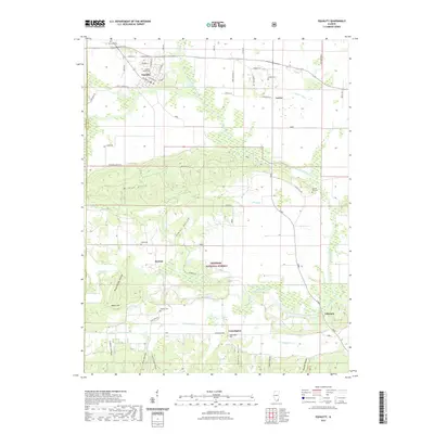
Loading map...1959 Map of Equality
USGS Topo · Published 1990About this map
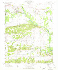
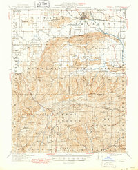
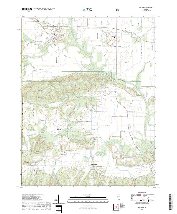
The Saline River winds across this southern Illinois landscape, dividing the agricultural plains of Equality from the heavily wooded heights of the Wildcat Hills. Originally mapped in the 1950s and updated with late-century land-use revisions, the sheet captures the region's complex relationship between natural resources and preservation. Portions of the Shawnee National Forest and the Saline County State Conservation Area provide a contrast to the industrial activity evidenced by the Berke Mine and numerous Strip Mines.
Find a feature on this map
49 named features on this map. Tap any name to fly to it.
Don’t see what you’re looking for? This feature index may not catch every label — zoom into the map to look around manually.
Map Details
Date Portrayed1959
Date Published1990
PublisherU.S. Geological Survey
Map TypeTopographic
Scale1:24,000
Physical Dimensions22 x 26.9 inches
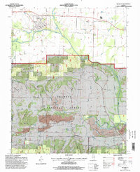
Editions of this 1959 Equality Map
3 editions found
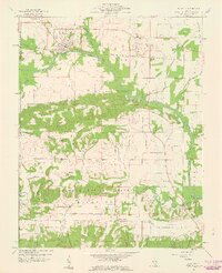
Historical Maps of Equality Through Time
9 maps found
Featured Locations
Source Details
SourceU.S. Geological Survey
CopyrightPublic Domain