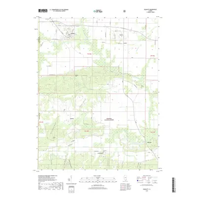
2018 Map of Equality
USGS Topo · Published 2018About this map
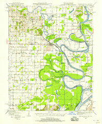
Equality stands as the primary hub in this Southern Illinois landscape, situated at the edge of the Wildcat Hills where the North Fork Saline River meets the Saline River. The map reveals a transition from the agricultural lowlands near Lawler and Lawler Ditch to the more dissected terrain of the Shawnee National Forest. This southern portion is characterized by numerous hollows, including Poplar Hollow, Colbert Hollow, and Pounds Hollow, indicating a complex drainage system feeding into Eagle Cr and Little Eagle Cr. For family historians, the area is notably dense with burial sites such as Equality Village Cem, Hickory Hill Catholic Cem, and Leamington Cem. Small rural settlements like Kedron, Leamington, and Gibsonia are linked by a network of local roads including Shawnee Forest Rd and Level Hill Rd, reflecting the scattered residential patterns typical of the region's mid-to-late 20th-century development.
Find a feature on this map
66 named features on this map. Tap any name to fly to it.
Don’t see what you’re looking for? This feature index may not catch every label — zoom into the map to look around manually.
Map Details
Editions of this 2018 Equality Map
This is the sole edition of this map. No revisions or reprints were ever made.
Other maps of this area
1905 · Eldorado
USGS Topo · 1:62,500
1905 · New Haven
USGS Topo · 1:62,500
1906 · New Haven
USGS Topo · 1:62,500
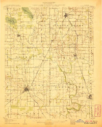
1906 · Eldorado
USGS Topo · 1:62,500
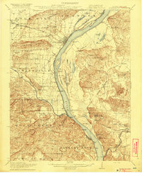
1916 · Shawneetown
USGS Topo · 1:62,500
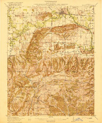
1916 · Equality
USGS Topo · 1:62,500
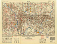
1949 · Paducah
USGS Topo · 1:250,000
1949 · New Haven
USGS Topo · 1:62,500
1950 · Paducah
USGS Topo · 1:250,000
1954 · Paducah
USGS Topo · 1:250,000