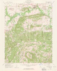
1959 Map of Equality
USGS Topo · Published 1965About this map
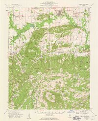
The Saline River and its multiple forks define the landscape of southern Illinois in this late 1950s survey, where industrial mining and agricultural settlements meet the wooded uplands of the Shawnee National Forest. The village of Equality sits near the confluence of the river's branches, supported by the Illinois Central RR and surrounded by a network of salt wells and coal operations, including several strip mines. To the south, the geological curiosity of Hicks Dome rises above the terrain, characterized by a radial drainage pattern of creeks like Hicks Branch and Goose Creek.
Find a feature on this map
177 named features on this map. Tap any name to fly to it.
Don’t see what you’re looking for? This feature index may not catch every label — zoom into the map to look around manually.
Map Details
Editions of this 1959 Equality Map
2 editions found
Other maps of this area

1905 · Eldorado
USGS Topo · 1:62,500

1905 · New Haven
USGS Topo · 1:62,500

1906 · New Haven
USGS Topo · 1:62,500

1906 · Eldorado
USGS Topo · 1:62,500

1908 · Galatia
USGS Topo · 1:62,500

1916 · Shawneetown
USGS Topo · 1:62,500

1916 · Fords Ferry
USGS Topo · 1:62,500

1916 · Golconda
USGS Topo · 1:62,500

1916 · Equality
USGS Topo · 1:62,500

1917 · Brownfield
USGS Topo · 1:62,500