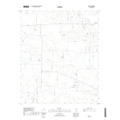
2019 Map of Era SE
USGS Topo · Published 2019About this map
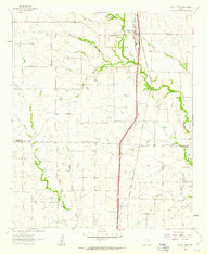
Windmillcreek Airport and several other private landing strips define the rural aviation landscape of this Denton County region. The terrain is deeply etched by the branching drainage systems of N Hickory Cr and S Hickory Cr, which flow through a network of farm-to-market roads and country lanes. The northern portion of the map is dominated by the course of Clear Creek and its tributaries, including Boom Br and Canyon Cr. Local transit is anchored by FM 1173 and FM 455 W, connecting various family-named roads like Pruett Rd, Atcheson Rd, and Doyle Rd. This modern survey illustrates the persistent agricultural character of the area, where large property tracts are served by specialized facilities such as Bird Dog Airfield and the Flying C Airport.
Find a feature on this map
60 named features on this map. Tap any name to fly to it.
Don’t see what you’re looking for? This feature index may not catch every label — zoom into the map to look around manually.
Map Details
Editions of this 2019 Era SE Map
This is the sole edition of this map. No revisions or reprints were ever made.
Other maps of this area

1954 · Sherman
USGS Topo · 1:250,000

1958 · Sherman
USGS Topo · 1:250,000
1959 · Ponder
USGS Topo · 1:24,000
1960 · Sanger
USGS Topo · 1:24,000
1960 · Bluett
USGS Topo · 1:24,000
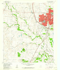
1960 · Denton West
USGS Topo · 1:24,000
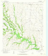
1961 · Era
USGS Topo · 1:24,000
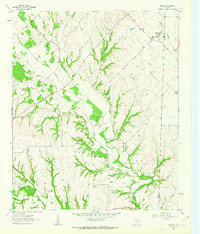
1961 · Slidell
USGS Topo · 1:24,000
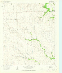
1961 · Era SE
USGS Topo · 1:24,000
1961 · Valley View
USGS Topo · 1:24,000