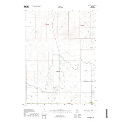
2017 Map of Erdman Ranch
USGS Topo · Published 2017About this map
Erdman Ranch and the surrounding high plains of Sioux County are defined by an intricate network of irrigation systems and cattle ranching infrastructure. This landscape, located just north of the Scotts Bluff County line, relies heavily on the Interstate Canal and its associated waterways like Lateral 21 Main and Lateral Number 1 to sustain the agricultural operations in the area known as Dutch Flats. The topography is marked by drainage basins such as Dry Spottedtail Cr and Spottedtail Cr, which carve through the terrain near landmarks like Rattlesnake Hill. A grid of rural roads, including Co Rd Shopping Center and Cook Rd, provides access to the scattered homesteads and pastures that characterize this portion of the Nebraska panhandle during the early twenty-first century.
Find a feature on this map
30 named features on this map. Tap any name to fly to it.
Don’t see what you’re looking for? This feature index may not catch every label — zoom into the map to look around manually.
Map Details
Editions of this 2017 Erdman Ranch Map
This is the sole edition of this map. No revisions or reprints were ever made.
Other maps of this area
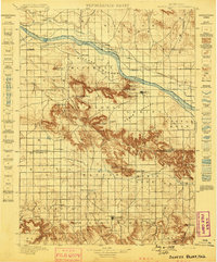
1898 · Scotts Bluff
USGS Topo · 1:125,000
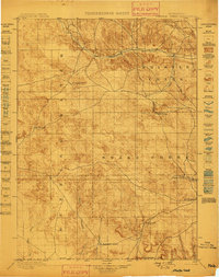
1899 · Whistle Creek
USGS Topo · 1:125,000

1954 · Scottsbluff
USGS Topo · 1:250,000

1955 · Alliance
USGS Topo · 1:250,000

1957 · Alliance
USGS Topo · 1:250,000

1958 · Alliance
USGS Topo · 1:250,000

1958 · Scottsbluff
USGS Topo · 1:250,000
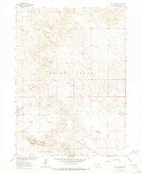
1963 · Chalk Buttes
USGS Topo · 1:24,000
1963 · Mitchell
USGS Topo · 1:24,000
1963 · Scottsbluff North
USGS Topo · 1:24,000