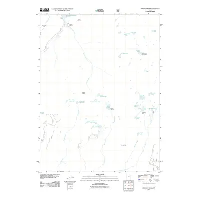
2011 Map of Erickson Basin
USGS Topo · Published 2011About this map
Smith and Morehouse Reservoir anchors the northern extent of this high-elevation landscape, where the Ledgefork Campground serves as a base for exploring the surrounding drainages. The area is defined by a dense concentration of alpine lakes and human-engineered water management, featuring numerous named dams such as the Anchor Lake Reservoir Dam, Big Elk Lake Dam, and Fire Lake Dam. These structures indicate the historical and ongoing importance of water storage in the high Uintas.
Find a feature on this map
44 named features on this map. Tap any name to fly to it.
Don’t see what you’re looking for? This feature index may not catch every label — zoom into the map to look around manually.
Map Details
Editions of this 2011 Erickson Basin Map
This is the sole edition of this map. No revisions or reprints were ever made.
Other maps of this area

1885 · Salt Lake
USGS Topo · 1:250,000

1885 · Uinta
USGS Topo · 1:250,000

1900 · Coalville
USGS Topo · 1:125,000

1901 · Hayden Peak
USGS Topo · 1:125,000

1903 · Hayden Peak
USGS Topo · 1:125,000

1903 · Coalville
USGS Topo · 1:125,000

1954 · Salt Lake City
USGS Topo · 1:250,000

1958 · Salt Lake City
USGS Topo · 1:250,000

1960 · Salt Lake City
USGS Topo · 1:250,000
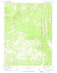
1972 · Iron Mine Mountain
USGS Topo · 1:24,000