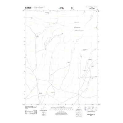
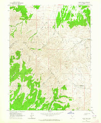
2011 Map of Erickson Knoll
USGS Topo · Published 2011About this map
Erickson Knoll and the surrounding high desert of Tooele County are defined by a long history of mining and livestock ranching. The 2011 topography reveals a landscape scarred by mineral exploration, with sites such as the Utah Mine, Flying Dutchman Mine, and Copper Jack Mine concentrated near the canyons of the Sheeprock Mountains. These operations, alongside the Clinger Mine and Hilltop Mine further north, underscore the geological importance of this corridor for prospectors.
Find a feature on this map
29 named features on this map. Tap any name to fly to it.
Don’t see what you’re looking for? This feature index may not catch every label — zoom into the map to look around manually.
Map Details
Editions of this 2011 Erickson Knoll Map
This is the sole edition of this map. No revisions or reprints were ever made.
Other maps of this area

1885 · Sevier Desert
USGS Topo · 1:250,000
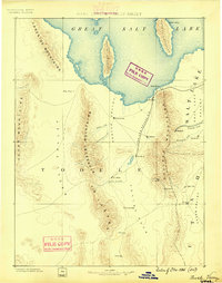
1885 · Tooele Valley
USGS Topo · 1:250,000

1953 · Tooele
USGS Topo · 1:250,000

1953 · Delta
USGS Topo · 1:250,000
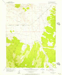
1955 · Indian Peaks
USGS Topo · 1:24,000
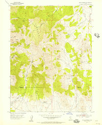
1955 · Indian Springs
USGS Topo · 1:24,000

1955 · Tooele
USGS Topo · 1:250,000

1958 · Delta
USGS Topo · 1:250,000

1962 · Delta
USGS Topo · 1:250,000
1963 · Dutch Peak
USGS Topo · 1:24,000