
1955 Map of Indian Springs
USGS Topo · Published 1956About this map
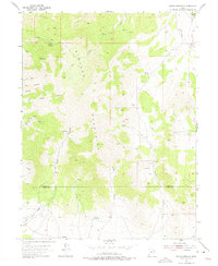
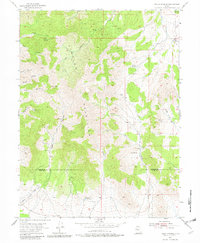
The Simpson Mountains dominate this high-desert landscape in central Utah, revealing a complex network of canyons and vital water sources at the midpoint of the 1950s. The map illustrates the precarious nature of life in this arid region, where place names are anchored to reliable water like Indian Springs, Cherry Springs, and Antelope Springs. Running across the center of the sheet, the border between Tooele Co and Juab Co bisects several rugged geographic features.
Find a feature on this map
27 named features on this map. Tap any name to fly to it.
Don’t see what you’re looking for? This feature index may not catch every label — zoom into the map to look around manually.
Map Details
Editions of this 1955 Indian Springs Map
3 editions found
Other maps of this area

1885 · Sevier Desert
USGS Topo · 1:250,000

1885 · Tooele Valley
USGS Topo · 1:250,000

1953 · Tooele
USGS Topo · 1:250,000

1953 · Delta
USGS Topo · 1:250,000

1955 · Simpson Springs
USGS Topo · 1:24,000

1955 · Indian Peaks
USGS Topo · 1:24,000

1955 · Coyote Springs
USGS Topo · 1:24,000

1955 · Tooele
USGS Topo · 1:250,000

1958 · Delta
USGS Topo · 1:250,000

1962 · Delta
USGS Topo · 1:250,000