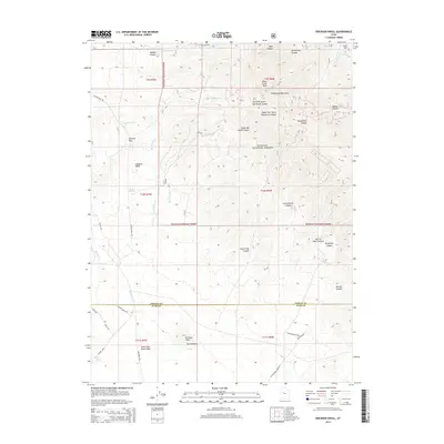
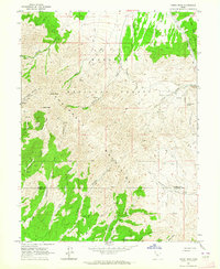
2014 Map of Erickson Knoll
USGS Topo · Published 2014About this map
The Sheeprock Mountains dominate this high-desert landscape in 2014, where the border of Tooele and Juab counties cuts through the arid basins and peaks. The map reveals a complex network of seasonal drainages and springs vital to this environment, such as Mud Spring, Black Spring, and Desert Springs. Within the Wasatch National Forest, the terrain is deeply incised by drainages like South Oak Brush Canyon and Hard to Beat Canyon. This survey illustrates the modern configuration of the backcountry roads and trails that traverse the passes, including Ericson Pass Rd and W Oak Brush Rd. The presence of named features like Lion Hill and Erickson Knoll alongside the Christensens and Christensens Spur suggests the enduring legacy of ranching and land use in this part of the Great Basin.
Find a feature on this map
46 named features on this map. Tap any name to fly to it.
Don’t see what you’re looking for? This feature index may not catch every label — zoom into the map to look around manually.
Map Details
Editions of this 2014 Erickson Knoll Map
This is the sole edition of this map. No revisions or reprints were ever made.
Other maps of this area

1885 · Sevier Desert
USGS Topo · 1:250,000
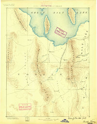
1885 · Tooele Valley
USGS Topo · 1:250,000

1953 · Tooele
USGS Topo · 1:250,000

1953 · Delta
USGS Topo · 1:250,000
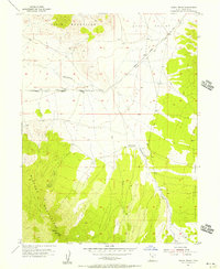
1955 · Indian Peaks
USGS Topo · 1:24,000
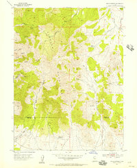
1955 · Indian Springs
USGS Topo · 1:24,000

1955 · Tooele
USGS Topo · 1:250,000

1958 · Delta
USGS Topo · 1:250,000

1962 · Delta
USGS Topo · 1:250,000
1963 · Dutch Peak
USGS Topo · 1:24,000