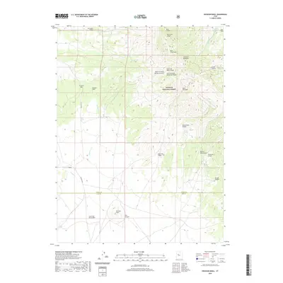
2020 Map of Erickson Knoll
USGS Topo · Published 2020About this map
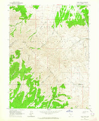
The Sheeprock Mountains dominate this high-desert landscape along the boundary of Tooele and Juab counties. This terrain is defined by a complex network of drainages and passes within the Wasatch National Forest, where seasonal waterways like Elderberry Cr and Black Crook Cr carve through the upland. The map reveals a reliance on isolated water sources for land use, marking vital points such as Lion Hill Spring, Black Spring, and Desert Springs.
Find a feature on this map
31 named features on this map. Tap any name to fly to it.
Don’t see what you’re looking for? This feature index may not catch every label — zoom into the map to look around manually.
Map Details
Editions of this 2020 Erickson Knoll Map
This is the sole edition of this map. No revisions or reprints were ever made.
Other maps of this area

1885 · Sevier Desert
USGS Topo · 1:250,000
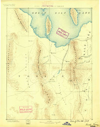
1885 · Tooele Valley
USGS Topo · 1:250,000

1953 · Tooele
USGS Topo · 1:250,000

1953 · Delta
USGS Topo · 1:250,000
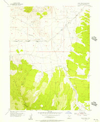
1955 · Indian Peaks
USGS Topo · 1:24,000
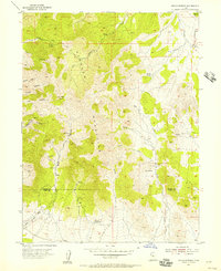
1955 · Indian Springs
USGS Topo · 1:24,000

1955 · Tooele
USGS Topo · 1:250,000

1958 · Delta
USGS Topo · 1:250,000

1962 · Delta
USGS Topo · 1:250,000
1963 · Dutch Peak
USGS Topo · 1:24,000