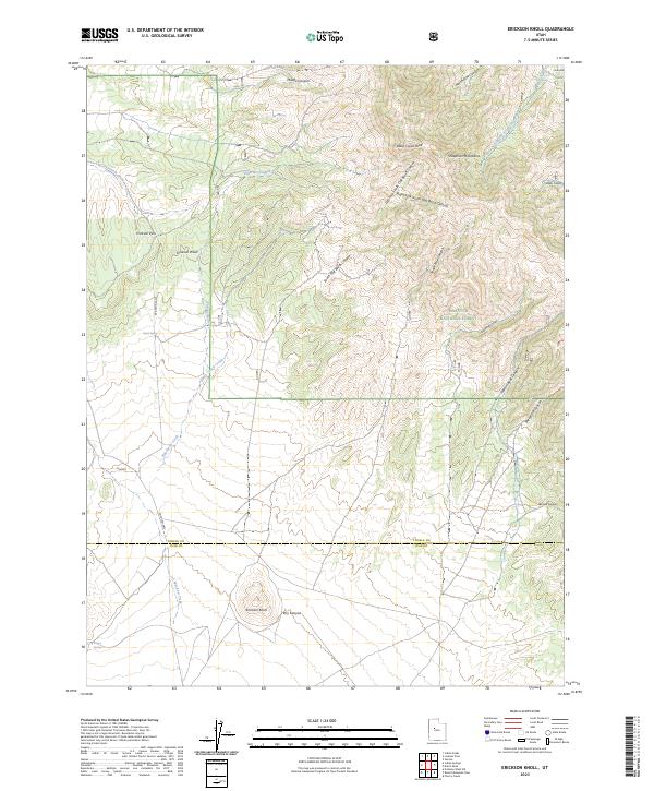
2023 Map of Erickson Knoll
USGS Topo · Published 2023About this map
The Sheeprock Mountains anchor this high-elevation landscape where the Tooele and Juab county lines meet. Dominated by the rugged topography of the Wasatch National Forest, the terrain is defined by a series of steep drainages including South Oak Brush Canyon and Cottonwood Canyon. Water sources are sparse but critical markers of the local geography, featuring Black Spring, Mud Spring, and the appropriately named Desert Springs near the southwestern corner.
Find a feature on this map
30 named features on this map. Tap any name to fly to it.
Don’t see what you’re looking for? This feature index may not catch every label — zoom into the map to look around manually.
Map Details
Editions of this 2023 Erickson Knoll Map
This is the sole edition of this map. No revisions or reprints were ever made.
Other maps of this area

1885 · Sevier Desert
USGS Topo · 1:250,000

1885 · Tooele Valley
USGS Topo · 1:250,000

1953 · Tooele
USGS Topo · 1:250,000

1953 · Delta
USGS Topo · 1:250,000

1955 · Indian Peaks
USGS Topo · 1:24,000

1955 · Indian Springs
USGS Topo · 1:24,000

1955 · Tooele
USGS Topo · 1:250,000

1958 · Delta
USGS Topo · 1:250,000

1962 · Delta
USGS Topo · 1:250,000

1963 · Dutch Peak
USGS Topo · 1:24,000