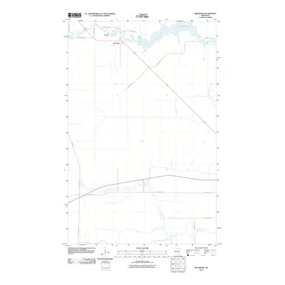
2010 Map of Ericsburg
USGS Topo · Published 2010About this map
The settlement of Ericsburg serves as the focal point of this Northern Minnesota landscape, where the Rat Root River and its East Branch meander through the low-lying terrain. The community's history is anchored by the Ericsburg Cemetery, located just north of the town center near the confluence of several local routes. This 2010 survey illustrates a region defined by its water systems and rural infrastructure, dominated by the expanse of Rat Root Lake to the northeast. A network of secondary roads, including Town Road 174 and the diagonal path of the Arrowhead Trl, provides access to the surrounding wetlands and forests, showing the modern footprint of a community deeply tied to its riverine geography.
Find a feature on this map
18 named features on this map. Tap any name to fly to it.
Don’t see what you’re looking for? This feature index may not catch every label — zoom into the map to look around manually.
Map Details
Editions of this 2010 Ericsburg Map
This is the sole edition of this map. No revisions or reprints were ever made.
Other maps of this area

1919 · International Falls
USGS Topo · 1:62,500

1954 · International Falls
USGS Topo · 1:250,000

1957 · International Falls
USGS Topo · 1:250,000

1958 · International Falls
USGS Topo · 1:250,000

1963 · Ranier
USGS Topo · 1:24,000

1969 · Island View
USGS Topo · 1:24,000

1969 · Ericsburg NW
USGS Topo · 1:24,000

1969 · Ericsburg
USGS Topo · 1:24,000

1969 · Ericsburg SE
USGS Topo · 1:24,000

1969 · Ray
USGS Topo · 1:24,000