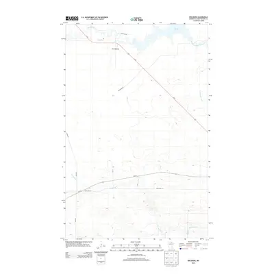
2013 Map of Ericsburg
USGS Topo · Published 2013About this map
Ericsburg serves as the focal point for this northern Minnesota landscape, situated along the diagonal path of Us-53. The settlement is closely tied to the surrounding wetlands and waterways, with the Rat Root River winding through the terrain alongside the Ericsburg Cem. The geography is defined by a complex network of tributaries, including the East Branch Rat Root River and the nearby Rat Root Lake, which illustrate the low-lying, water-dominant nature of Koochiching County.
Find a feature on this map
15 named features on this map. Tap any name to fly to it.
Don’t see what you’re looking for? This feature index may not catch every label — zoom into the map to look around manually.
Map Details
Editions of this 2013 Ericsburg Map
This is the sole edition of this map. No revisions or reprints were ever made.
Other maps of this area

1919 · International Falls
USGS Topo · 1:62,500

1954 · International Falls
USGS Topo · 1:250,000

1957 · International Falls
USGS Topo · 1:250,000

1958 · International Falls
USGS Topo · 1:250,000

1963 · Ranier
USGS Topo · 1:24,000

1969 · Island View
USGS Topo · 1:24,000

1969 · Ericsburg NW
USGS Topo · 1:24,000

1969 · Ericsburg
USGS Topo · 1:24,000

1969 · Ericsburg SE
USGS Topo · 1:24,000

1969 · Ray
USGS Topo · 1:24,000