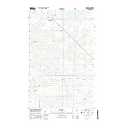
2016 Map of Ericsburg
USGS Topo · Published 2016About this map
Ericsburg serves as the primary focal point of this northern Minnesota landscape, where the Rat Root River meanders through a complex network of wetlands and low-lying terrain. The settlement is positioned along the Arrowhead Trl, a route that connects the small community to the surrounding wilderness. To the north, the Ericsburg Cem provides a point of genealogical interest, situated near the river's path as it flows toward Rat Root Lake. The river system is further defined by the E Br Rat Root River, which drains the eastern portion of the quadrangle. The map detail reflects a remote, water-dominated environment in Koochiching County, where transportation is limited to a few established corridors like Co Rd 98 and Co Rd 145, illustrating the enduring isolation and rugged character of the region in the early 21st century.
Find a feature on this map
21 named features on this map. Tap any name to fly to it.
Don’t see what you’re looking for? This feature index may not catch every label — zoom into the map to look around manually.
Map Details
Editions of this 2016 Ericsburg Map
This is the sole edition of this map. No revisions or reprints were ever made.
Other maps of this area
1919 · International Falls
USGS Topo · 1:62,500
1954 · International Falls
USGS Topo · 1:250,000
1957 · International Falls
USGS Topo · 1:250,000
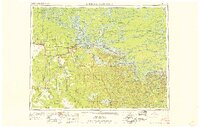
1958 · International Falls
USGS Topo · 1:250,000
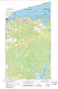
1963 · Ranier
USGS Topo · 1:24,000
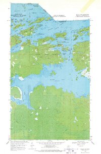
1969 · Island View
USGS Topo · 1:24,000
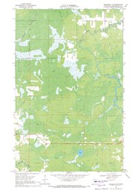
1969 · Ericsburg NW
USGS Topo · 1:24,000
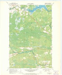
1969 · Ericsburg
USGS Topo · 1:24,000
1969 · Ericsburg SE
USGS Topo · 1:24,000
1969 · Ray
USGS Topo · 1:24,000