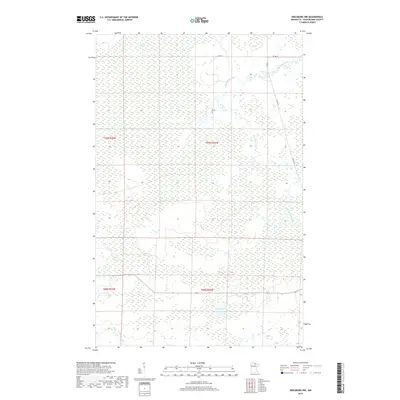
2019 Map of Ericsburg NW
USGS Topo · Published 2019About this map
Rat Root River meanders through the wetlands of northern Minnesota in this 2019 survey of Koochiching County. The landscape is defined by its extensive water systems and drainage patterns, including the prominent Moose Lake in the southern portion of the quadrangle. Human presence is concentrated along a sparse network of local routes, such as Co Rd 97 and Galvin Ln, which provide access through the low-lying terrain. To the southwest, Beaver Brook contributes to the complex hydrology of the region. The map provides a detailed view of the township and range boundaries—specifically t69n r25w, t69n r24w, t68n r25w, and t68n r24w—marking the sectional divisions of this wilderness area near the international border.
Find a feature on this map
9 named features on this map. Tap any name to fly to it.
Don’t see what you’re looking for? This feature index may not catch every label — zoom into the map to look around manually.
Map Details
Editions of this 2019 Ericsburg NW Map
This is the sole edition of this map. No revisions or reprints were ever made.
Other maps of this area
1919 · Pelland
USGS Topo · 1:62,500
1919 · Happy Land
USGS Topo · 1:62,500
1919 · International Falls
USGS Topo · 1:62,500

1954 · International Falls
USGS Topo · 1:250,000

1957 · International Falls
USGS Topo · 1:250,000

1958 · International Falls
USGS Topo · 1:250,000
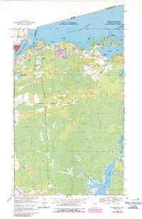
1963 · Ranier
USGS Topo · 1:24,000
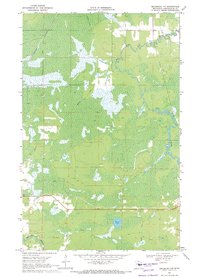
1969 · Ericsburg NW
USGS Topo · 1:24,000
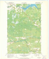
1969 · Ericsburg
USGS Topo · 1:24,000
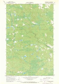
1969 · Ericsburg SE
USGS Topo · 1:24,000