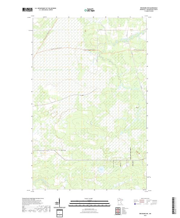
2022 Map of Ericsburg NW
USGS Topo · Published 2022About this map
The Rat Root River meanders through this portion of Koochiching County, carving a path through a landscape dominated by extensive wetlands and brush. The intersection of major recreational corridors defines the northern half of the map, where the Blue Ox State Trail MS&A 029 Trl crosses the east-west path of the David Dill-Arrowhead State Trl. These trails follow former rail and transport alignments that were critical to the development of the northern Minnesota timber and transit economy.
Find a feature on this map
12 named features on this map. Tap any name to fly to it.
Don’t see what you’re looking for? This feature index may not catch every label — zoom into the map to look around manually.
Map Details
Editions of this 2022 Ericsburg NW Map
This is the sole edition of this map. No revisions or reprints were ever made.
Other maps of this area

1919 · Pelland
USGS Topo · 1:62,500

1919 · Happy Land
USGS Topo · 1:62,500

1919 · International Falls
USGS Topo · 1:62,500

1954 · International Falls
USGS Topo · 1:250,000

1957 · International Falls
USGS Topo · 1:250,000

1958 · International Falls
USGS Topo · 1:250,000

1963 · Ranier
USGS Topo · 1:24,000

1969 · Ericsburg NW
USGS Topo · 1:24,000

1969 · Ericsburg
USGS Topo · 1:24,000

1969 · Ericsburg SE
USGS Topo · 1:24,000