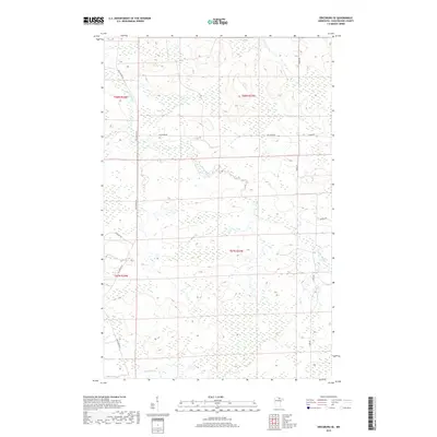
2019 Map of Ericsburg SE
USGS Topo · Published 2019About this map
Beaver Brook and Ester Brook wind through this expansive northern landscape in Koochiching County, which remains largely defined by its natural drainage patterns and sparse rural infrastructure. The area is gridded by several distinct townships, including t68n r24w and t67n r23w, reflecting the structured Public Land Survey System that governs this part of Minnesota. Local transportation is limited to a network of established roads such as Old Galvin Ln and Galleger Rd, which likely serve as primary access points for the scattered inhabitants and forestry activities in the region. The map provides a clear look at how land use is organized around these watercourses and named routes like Haney Rd and Douglas Rd, documenting the contemporary rural layout of this northern territory.
Find a feature on this map
12 named features on this map. Tap any name to fly to it.
Don’t see what you’re looking for? This feature index may not catch every label — zoom into the map to look around manually.
Map Details
Editions of this 2019 Ericsburg SE Map
This is the sole edition of this map. No revisions or reprints were ever made.
Other maps of this area

1954 · International Falls
USGS Topo · 1:250,000

1957 · International Falls
USGS Topo · 1:250,000

1958 · International Falls
USGS Topo · 1:250,000
1969 · Ericsburg NW
USGS Topo · 1:24,000
1969 · Ericsburg
USGS Topo · 1:24,000
1969 · Ericsburg SE
USGS Topo · 1:24,000
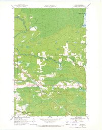
1969 · Ray
USGS Topo · 1:24,000
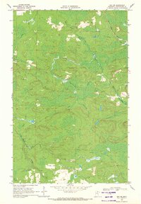
1969 · Ray SW
USGS Topo · 1:24,000
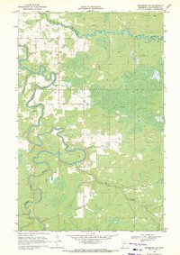
1969 · Ericsburg SW
USGS Topo · 1:24,000
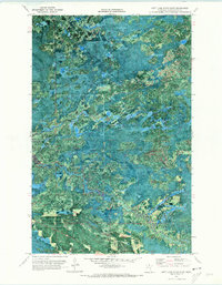
1970 · Nett Lake River East
USGS Topo · 1:24,000