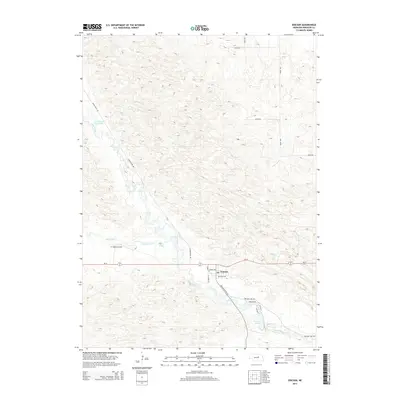
2014 Map of Ericson
USGS Topo · Published 2014About this map
Ericson sits at the heart of this Wheeler County landscape, where the local street grid is defined by names like W Depot St, Huron Ave, and Michigan Ave. The town’s position is deeply tied to the Cedar River, which flows past the settlement and into Ericson Lake to the southeast. This area of Nebraska is characterized by a high density of water features and ranching infrastructure, including Kruml Lake and Psotas Lake in the north and central regions. The presence of the X1 Ranch Airport and the network of section-line roads like 491st Ave and 829th Rd underscore the expansive agricultural and aviation-dependent nature of the Sandhills region during this period. The intermittent flow of Dry Cedar Creek further illustrates the unique hydrology of the Platte River basin's northern tributaries.
Find a feature on this map
24 named features on this map. Tap any name to fly to it.
Don’t see what you’re looking for? This feature index may not catch every label — zoom into the map to look around manually.
Map Details
Editions of this 2014 Ericson Map
This is the sole edition of this map. No revisions or reprints were ever made.
Other maps of this area
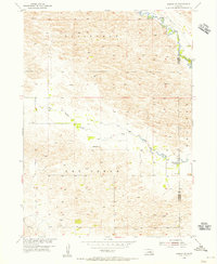
1954 · Gables SE
USGS Topo · 1:24,000
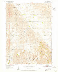
1954 · Ord NE
USGS Topo · 1:24,000
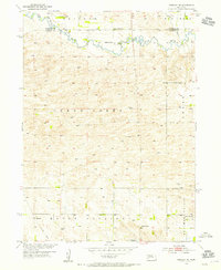
1954 · Greeley NE
USGS Topo · 1:24,000
1954 · Greeley NW
USGS Topo · 1:24,000
1954 · Bartlett NW
USGS Topo · 1:24,000
1954 · Bartlett SE
USGS Topo · 1:24,000
1954 · Bartlett
USGS Topo · 1:24,000
1954 · Ericson
USGS Topo · 1:24,000
1954 · Gables
USGS Topo · 1:24,000
1955 · Broken Bow
USGS Topo · 1:250,000