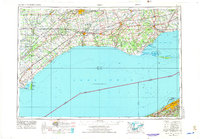
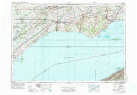
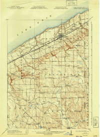
1959 Map of Erie
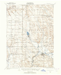
USGS Topo · Published 1974About this map
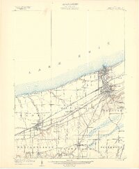
London and St Thomas anchor the northern reaches of this mid-century survey, which details the trans-border maritime environment of Lake Erie. The map documents a dense network of international transport, showing major rail corridors like the Penn Central and Canadian Pacific converging near the shoreline. Coastal life is centered on a string of historic harbor towns, from Port Stanley to Port Dover, while the natural topography is defined by the massive sandy formations of Long Point and Presque Isle State Park. The geography reveals a landscape shaped by both industrial transit and preservation, with Rondeau Provincial Park protecting the western marshlands while shipping lanes cut across the international boundary toward Erie.
Find a feature on this map
90 named features on this map. Tap any name to fly to it.
Don’t see what you’re looking for? This feature index may not catch every label — zoom into the map to look around manually.
Map Details
Editions of this 1959 Erie Map
2 editions found
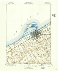
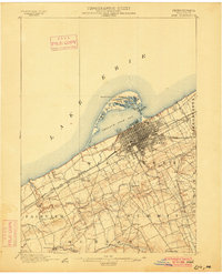
Other maps of this area
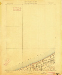
1899 · Erie
USGS Topo · 1:62,500

1900 · Girard
USGS Topo · 1:62,500
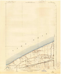
1900 · Erie
USGS Topo · 1:62,500
1900 · Fairview
USGS Topo · 1:62,500
1905 · Ashtabula
USGS Topo · 1:62,500
1905 · Perry
USGS Topo · 1:62,500

1906 · Conneaut
USGS Topo · 1:62,500

1913 · North East
USGS Topo · 1:62,500
1915 · North East
USGS Topo · 1:62,500
1923 · Cambridge Springs
USGS Topo · 1:62,500