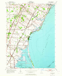
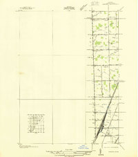
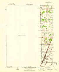
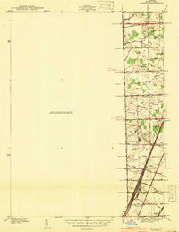
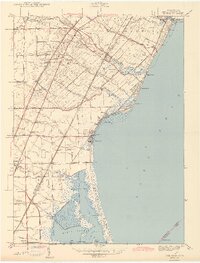
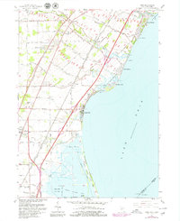
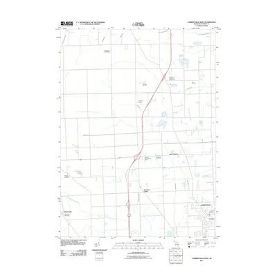
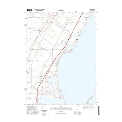
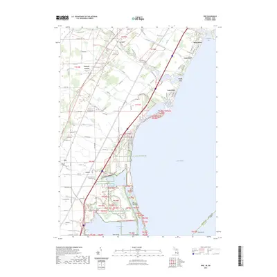
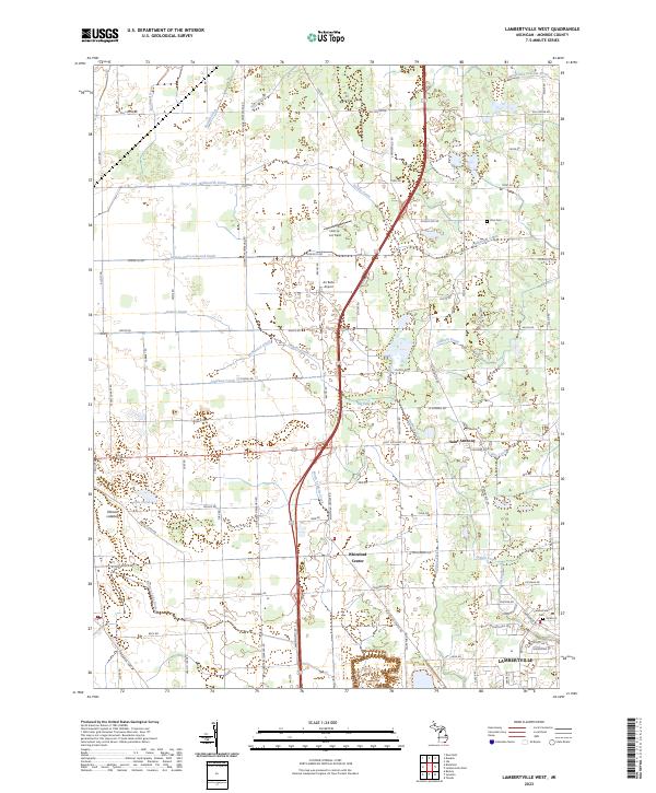
1952 Map of Erie
USGS Topo · Published 1964About this map
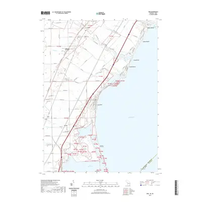
The western shores of Lake Erie dominate this 1950s survey, revealing a landscape defined by industrial infrastructure and lakefront recreation. The coastal strip is densely punctuated by small beach communities and harbors such as Luna Pier, Bolles Harbor, and Toledo Beach. Moving inland from the Woodtick Peninsula, the geography shifts toward agricultural and residential land marked by numerous country schools like Hall Sch and Keeney Sch.
Find a feature on this map
56 named features on this map. Tap any name to fly to it.
Don’t see what you’re looking for? This feature index may not catch every label — zoom into the map to look around manually.
Map Details
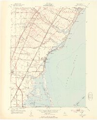
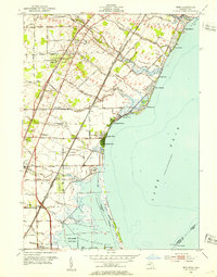
Editions of this 1952 Erie Map
3 editions found
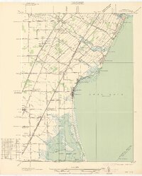
Historical Maps of Monroe Charter Township Through Time
29 maps found
1936 Erie
Monroe County, MI
1936 Samaria
Monroe County, MI
1939 Samaria
Monroe County, MI
1941 Samaria
Monroe County, MI
1943 Erie
Monroe County, MI
1952 Erie
Monroe County, MI
1967 Erie
Monroe County, MI
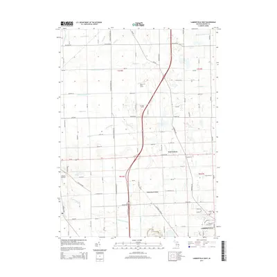
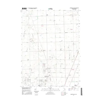
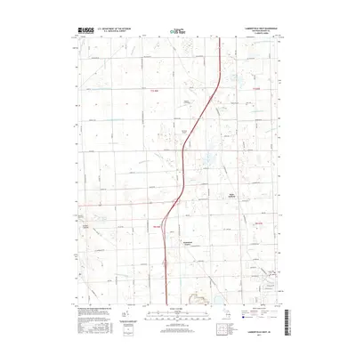
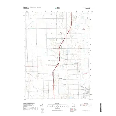
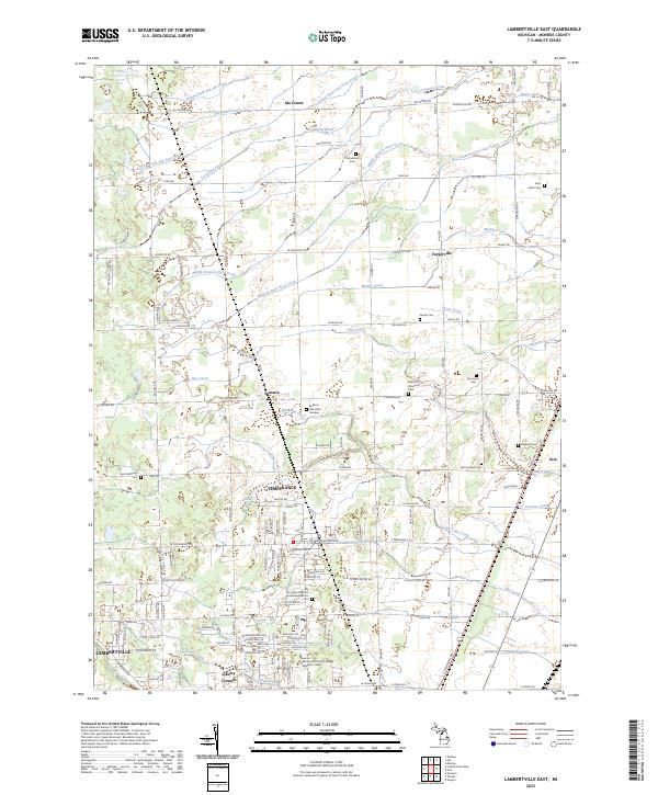
1972 Lambertville East
Monroe County, MI

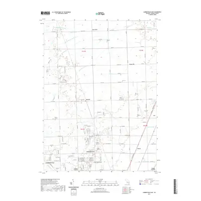
1972 Lambertville West
Monroe County, MI
2011 Erie
Monroe County, MI
2011 Lambertville East
Monroe County, MI
2011 Lambertville West
Monroe County, MI
2011 Stony Point OE S
Monroe County, MI
2014 Erie
Monroe County, MI
2014 Lambertville East
Monroe County, MI
2014 Lambertville West
Monroe County, MI
2014 Stony Point OE S
Monroe County, MI
2017 Erie
Monroe County, MI
2017 Lambertville East
Monroe County, MI
2017 Lambertville West
Monroe County, MI
2017 Stony Point OE S
Monroe County, MI
2019 Erie
Monroe County, MI
2019 Lambertville East
Monroe County, MI
2019 Lambertville West
Monroe County, MI
2019 Stony Point OE S
Monroe County, MI
2023 Erie
Monroe County, MI
2023 Lambertville East
Monroe County, MI
2023 Lambertville West
Monroe County, MI
2023 Stony Point OE S
Monroe County, MI
Featured Locations
- Erie Township, MI
- LaSalle Township, MI
- Monroe Charter Township, MI
- Erie, Erie Township
- LaSalle, LaSalle Township