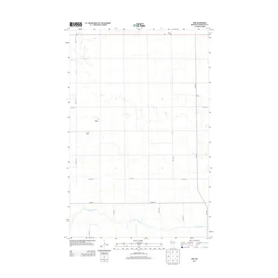
2013 Map of Erie
USGS Topo · Published 2013About this map
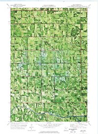
Erie remains a quiet focal point in this portion of Pennington County, defined by a landscape of drainage patterns and local burial grounds. The Red Lake River meanders across the southern portion of the sheet, its winding course contrasting with the rigid grid of section lines and gravel roads that organize the surrounding farmland. Genealogy and local history are anchored by several dispersed sites, including Ekelund Cem near the center and Star Cem and Reiner Cem further to the north and east. The road network, comprising routes like Co Hwy-27 and Mn-1, facilitates movement through this rural district, connecting isolated farmsteads to the larger regional centers beyond the river's banks.
Find a feature on this map
17 named features on this map. Tap any name to fly to it.
Don’t see what you’re looking for? This feature index may not catch every label — zoom into the map to look around manually.
Map Details
Editions of this 2013 Erie Map
This is the sole edition of this map. No revisions or reprints were ever made.
Other maps of this area
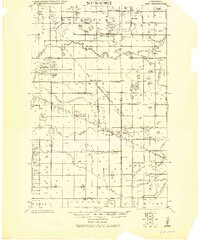
1919 · Grit
USGS Topo · 1:62,500
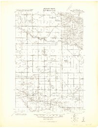
1919 · Winsor
USGS Topo · 1:62,500

1954 · Bemidji
USGS Topo · 1:250,000

1954 · Roseau
USGS Topo · 1:250,000

1957 · Roseau
USGS Topo · 1:250,000

1957 · Bemidji
USGS Topo · 1:250,000

1958 · Bemidji
USGS Topo · 1:250,000

1958 · Roseau
USGS Topo · 1:250,000
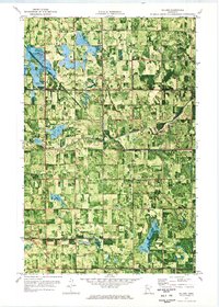
1971 · Roland
USGS Topo · 1:24,000
1972 · Erie
USGS Topo · 1:24,000