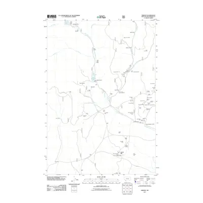
2011 Map of Ermont
USGS Topo · Published 2011About this map
Ermont Mill serves as a focal point for this mineral-rich pocket of Beaverhead County, where a dense network of mining operations defines the landscape. The area around Argenta Mine is particularly saturated with named claims, including the Legal Tender Mine, Starlight Mine, and Madison Mine. These features, clustered near Argenta Spring, point to a history of deep-earth extraction in the hills above Clarks Canyon.
Find a feature on this map
72 named features on this map. Tap any name to fly to it.
Don’t see what you’re looking for? This feature index may not catch every label — zoom into the map to look around manually.
Map Details
Editions of this 2011 Ermont Map
This is the sole edition of this map. No revisions or reprints were ever made.
Other maps of this area

1893 · Dillon
USGS Topo · 1:250,000

1952 · Twin Adams Mountain
USGS Topo · 1:24,000

1952 · Argenta
USGS Topo · 1:24,000

1952 · Bannack
USGS Topo · 1:24,000

1952 · Burns Mountain
USGS Topo · 1:24,000

1952 · Torrey Mountain
USGS Topo · 1:24,000

1952 · Ermont
USGS Topo · 1:24,000

1955 · Dillon
USGS Topo · 1:250,000

1957 · Dillon
USGS Topo · 1:250,000

1958 · Dillon
USGS Topo · 1:250,000