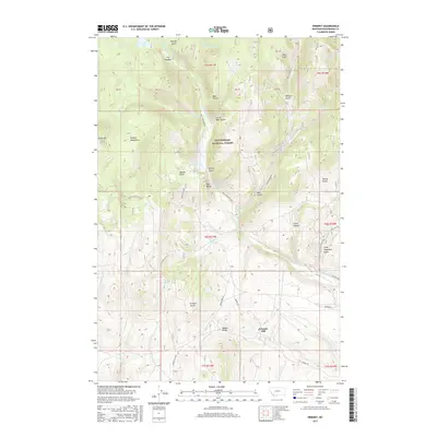
2017 Map of Ermont
USGS Topo · Published 2017About this map
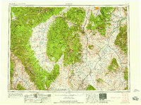
Ermont Mill serves as a key landmark in this high-elevation landscape within the Beaverhead National Forest. Located along the southern edge of the Pioneer Mountains, the area is defined by a dense network of gulches and ridges that speak to the region's complex geology and history of resource extraction. Significant water features such as Kelley Reservoir and Estler Lake provide contrast to the arid slopes of Badger Ridge and Black Mtn. The transport network, including Kelly Reservoir Rd and Badger Pass Rd, follows the natural contours of the terrain, connecting isolated springs like Argenta Spring and Taylor Spring. This document illustrates a region shaped by both its natural defenses, like Red Butte, and its industrial imprints, represented by the Gravel Pit and numerous named drainages such as Clarks Canyon and Ermont Gulch.
Find a feature on this map
46 named features on this map. Tap any name to fly to it.
Don’t see what you’re looking for? This feature index may not catch every label — zoom into the map to look around manually.
Map Details
Editions of this 2017 Ermont Map
This is the sole edition of this map. No revisions or reprints were ever made.
Other maps of this area
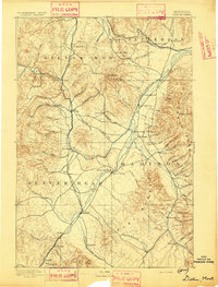
1893 · Dillon
USGS Topo · 1:250,000
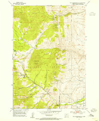
1952 · Twin Adams Mountain
USGS Topo · 1:24,000
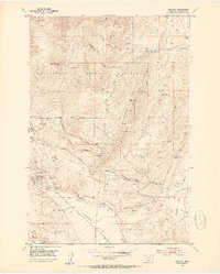
1952 · Argenta
USGS Topo · 1:24,000
1952 · Bannack
USGS Topo · 1:24,000
1952 · Burns Mountain
USGS Topo · 1:24,000
1952 · Torrey Mountain
USGS Topo · 1:24,000
1952 · Ermont
USGS Topo · 1:24,000

1955 · Dillon
USGS Topo · 1:250,000

1957 · Dillon
USGS Topo · 1:250,000
1958 · Dillon
USGS Topo · 1:250,000