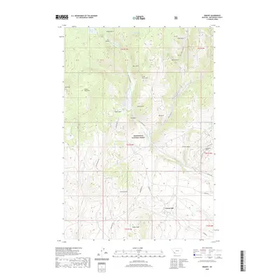
2020 Map of Ermont
USGS Topo · Published 2020About this map
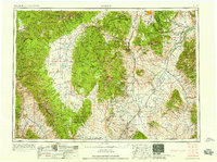
The Pioneer Mountains define the high country of this Montana landscape, where the Beaverhead National Forest meets a network of deeply etched gulches and canyons. The site of Ermont Mill sits in the lower elevations of the southern quadrangle, marking a historical point of processing for the region's mineral wealth. Moving north, the terrain rises toward peaks like Black Mtn and significant geological features such as Red Butte.
Find a feature on this map
50 named features on this map. Tap any name to fly to it.
Don’t see what you’re looking for? This feature index may not catch every label — zoom into the map to look around manually.
Map Details
Editions of this 2020 Ermont Map
This is the sole edition of this map. No revisions or reprints were ever made.
Other maps of this area
1893 · Dillon
USGS Topo · 1:250,000
1952 · Twin Adams Mountain
USGS Topo · 1:24,000
1952 · Argenta
USGS Topo · 1:24,000
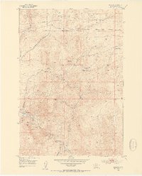
1952 · Bannack
USGS Topo · 1:24,000
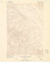
1952 · Burns Mountain
USGS Topo · 1:24,000
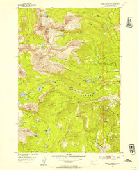
1952 · Torrey Mountain
USGS Topo · 1:24,000
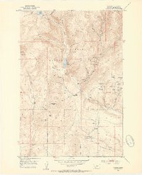
1952 · Ermont
USGS Topo · 1:24,000

1955 · Dillon
USGS Topo · 1:250,000

1957 · Dillon
USGS Topo · 1:250,000
1958 · Dillon
USGS Topo · 1:250,000