
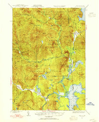
1930 Map of Errol
USGS Topo · Published 1955About this map
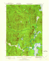
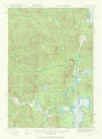
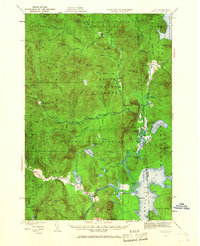
Wilsons Mills and Wentworth Location anchor this survey of the Maine and New Hampshire borderlands, where the Magalloway River and Diamond River define a landscape of timber and water power. At the southern edge, the settlement of Errol sits near the confluence where the Androscoggin River meets Umbagog Lake. The map reveals the early 20th-century infrastructure of the logging industry, featuring remote outposts like Swift Diamond Farm, Palmers Cabin, and the College Farm.
Find a feature on this map
91 named features on this map. Tap any name to fly to it.
Don’t see what you’re looking for? This feature index may not catch every label — zoom into the map to look around manually.
Map Details
Editions of this 1930 Errol Map
5 editions found
Other maps of this area

1925 · Indian Stream
USGS Topo · 1:48,000

1926 · Indian Stream
USGS Topo · 1:62,500

1927 · Indian Stream
USGS Topo · 1:62,500

1927 · Second Lake
USGS Topo · 1:62,500

1930 · Milan
USGS Topo · 1:62,500

1930 · Percy
USGS Topo · 1:62,500

1930 · Dixville
USGS Topo · 1:62,500

1931 · Cupsuptic
USGS Topo · 1:48,000

1932 · Second Lake
USGS Topo · 1:62,500

1933 · Dixville
USGS Topo · 1:62,500