1962 Map of Erskine
USGS Topo · Published 1978About this map
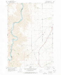
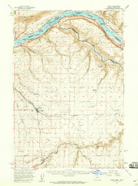
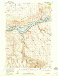
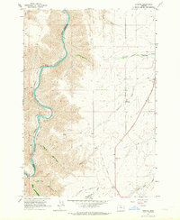
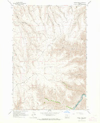
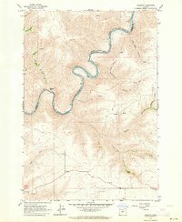
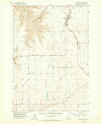
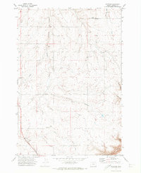
The Deschutes River serves as the primary geographic and political boundary in this region, dividing Wasco and Sherman counties as it carves through deep canyons. The transport infrastructure follows these natural corridors, most notably with the Oregon Trunk Railroad hugging the western riverbank. To the east, the plateau landscape is defined by agricultural and rail-oriented settlements like Erskine, where the Union Pacific line runs parallel to established roadways.
Find a feature on this map
36 named features on this map. Tap any name to fly to it.
Don’t see what you’re looking for? This feature index may not catch every label — zoom into the map to look around manually.
Map Details
Editions of this 1962 Erskine Map
2 editions found
Other maps of this area

1953 · The Dalles
USGS Topo · 1:250,000

1956 · The Dalles
USGS Topo · 1:250,000

1957 · The Dalles
USGS Topo · 1:250,000
1957 · Wasco
USGS Topo · 1:62,500
1957 · Wishram
USGS Topo · 1:62,500
1962 · Erskine
USGS Topo · 1:24,000
1962 · Summit Ridge
USGS Topo · 1:24,000
1962 · Sinamox
USGS Topo · 1:24,000
1962 · Grass Valley
USGS Topo · 1:24,000
1970 · Rosebush
USGS Topo · 1:24,000