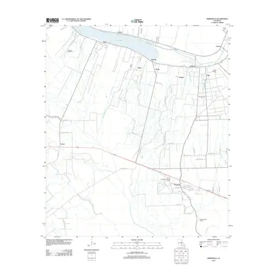
2012 Map of Erwinville
USGS Topo · Published 2012About this map
False River defines the northern reaches of this landscape, its distinctive oxbow curve lined with several historic settlements including Jarreau, Oscar, and Ingleside. This riverfront alignment follows the traditional long-lot pattern typical of Louisiana bayou country, where narrow ribbons of land provided water access to numerous families. Moving south from the river, the terrain transitions into a web of drainage bayous and drainage canals, including Bayou Sterling and Bayou Fusilier, which support the agricultural and industrial activities of the region.
Find a feature on this map
71 named features on this map. Tap any name to fly to it.
Don’t see what you’re looking for? This feature index may not catch every label — zoom into the map to look around manually.
Map Details
Editions of this 2012 Erwinville Map
This is the sole edition of this map. No revisions or reprints were ever made.
Other maps of this area

1906 · Bayou Sara
USGS Topo · 1:125,000

1935 · Osca Bayou
USGS Topo · 1:62,500

1939 · Fordoche
USGS Topo · 1:62,500

1940 · Grosse Tete
USGS Topo · 1:62,500

1953 · Lobdell
USGS Topo · 1:24,000

1953 · Maringouin
USGS Topo · 1:24,000

1953 · New Roads
USGS Topo · 1:24,000

1954 · Port Hudson
USGS Topo · 1:24,000

1954 · Walls
USGS Topo · 1:24,000

1954 · Fordoche
USGS Topo · 1:24,000