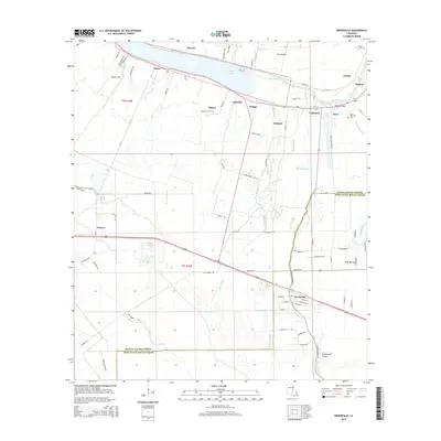
2015 Map of Erwinville
USGS Topo · Published 2015About this map
False River defines the northern landscape of this region, separating the mainland from the prominent landform known as The Island. The settlement pattern follows the ancient curves of the water, with a dense network of local roads such as Island Rd and La-414 serving a series of historic communities including Jarreau, Lakeland, and Alma. These settlements are closely tied to the agricultural history of the area, evidenced by landmarks like Alma Plantation Rd.
Find a feature on this map
85 named features on this map. Tap any name to fly to it.
Don’t see what you’re looking for? This feature index may not catch every label — zoom into the map to look around manually.
Map Details
Editions of this 2015 Erwinville Map
This is the sole edition of this map. No revisions or reprints were ever made.
Other maps of this area

1906 · Bayou Sara
USGS Topo · 1:125,000

1935 · Osca Bayou
USGS Topo · 1:62,500

1939 · Fordoche
USGS Topo · 1:62,500

1940 · Grosse Tete
USGS Topo · 1:62,500

1953 · Lobdell
USGS Topo · 1:24,000

1953 · Maringouin
USGS Topo · 1:24,000

1953 · New Roads
USGS Topo · 1:24,000

1954 · Port Hudson
USGS Topo · 1:24,000

1954 · Walls
USGS Topo · 1:24,000

1954 · Fordoche
USGS Topo · 1:24,000