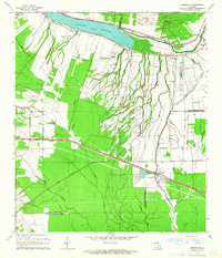
1962 Map of Erwinville
USGS Topo · Published 1964About this map
The crescent arc of the False River dominates the northern landscape of this Louisiana quadrangle, framing a fertile agricultural region defined by complex bayou systems. At the time of this 1962 revision, the area between Erwinville and Lakeland shows a transition from the structured plantation-style tracts of the The Island to the dense, branching watercourses of the interior. The Missouri Pacific railroad cuts a straight line through the parish, serving as the primary commercial artery for rural hubs like Torbert and Alma.
Find a feature on this map
39 named features on this map. Tap any name to fly to it.
Don’t see what you’re looking for? This feature index may not catch every label — zoom into the map to look around manually.
Map Details
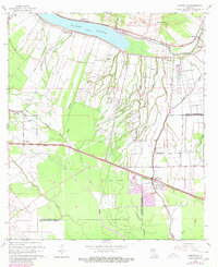
Editions of this 1962 Erwinville Map
2 editions found
Other maps of this area

1906 · Bayou Sara
USGS Topo · 1:125,000

1935 · Osca Bayou
USGS Topo · 1:62,500

1939 · Fordoche
USGS Topo · 1:62,500

1940 · Grosse Tete
USGS Topo · 1:62,500

1953 · Lobdell
USGS Topo · 1:24,000

1953 · Maringouin
USGS Topo · 1:24,000

1953 · New Roads
USGS Topo · 1:24,000

1954 · Port Hudson
USGS Topo · 1:24,000

1954 · Walls
USGS Topo · 1:24,000

1954 · Fordoche
USGS Topo · 1:24,000