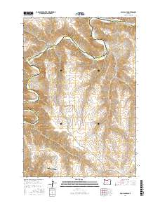
2017 Map of Esau Canyon
USGS Topo · Published 2017About this map
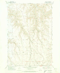
The John Day River carves a deep, winding path through this high desert plateau, forming a natural boundary between Sherman and Gilliam counties. Connectivity across this dramatic landscape is maintained by the Cottonwood Bridge and the steep, engineered descents of Ruggles Grade and Taylor Grade. These routes provide essential access from the uplands down to the riverbanks, where narrow corridors of vegetation stand in contrast to the arid tablelands above.
Find a feature on this map
18 named features on this map. Tap any name to fly to it.
Don’t see what you’re looking for? This feature index may not catch every label — zoom into the map to look around manually.
Map Details
Editions of this 2017 Esau Canyon Map
This is the sole edition of this map. No revisions or reprints were ever made.
Other maps of this area
1916 · Arlington
USGS Topo · 1:125,000
1916 · Condon
USGS Topo · 1:125,000

1953 · The Dalles
USGS Topo · 1:250,000

1956 · The Dalles
USGS Topo · 1:250,000
1957 · The Dalles
USGS Topo · 1:250,000
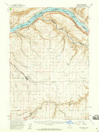
1957 · Wasco
USGS Topo · 1:62,500
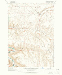
1964 · Turner Butte
USGS Topo · 1:24,000
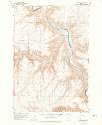
1964 · Mc Donald
USGS Topo · 1:24,000
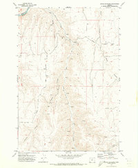
1970 · Devils Backbone
USGS Topo · 1:24,000
1970 · Igo Butte
USGS Topo · 1:24,000