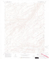
1973 Map of Escalante Forks
USGS Topo · Published 1977About this map
Escalante Forks sits at the confluence of several vital watercourses, including the North Fork Escalante Creek and Brushy Creek. This 1970s landscape is defined by its network of high-elevation tablelands and deep drainages, where Steamboat Mesa and Long Mesa provide massive topographical bookends to the canyon systems below. The map documents a working wilderness within the Uncompahgre National Forest, characterized by numerous pack trails, jeep paths, and the Stock Driveway that highlight the area's legacy of ranching and land management.
Find a feature on this map
43 named features on this map. Tap any name to fly to it.
Don’t see what you’re looking for? This feature index may not catch every label — zoom into the map to look around manually.
Map Details
Editions of this 1973 Escalante Forks Map
3 editions found
Other maps of this area

1956 · Moab
USGS Topo · 1:250,000

1959 · Moab
USGS Topo · 1:250,000

1960 · Moab
USGS Topo · 1:250,000

1962 · Moab
USGS Topo · 1:250,000

1964 · Moab
USGS Topo · 1:250,000

1965 · Moab
USGS Topo · 1:250,000
1969 · Triangle Mesa
USGS Topo · 1:24,000
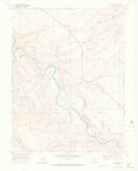
1969 · Dominguez
USGS Topo · 1:24,000
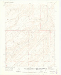
1969 · Good Point
USGS Topo · 1:24,000
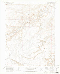
1972 · Jacks Canyon
USGS Topo · 1:24,000