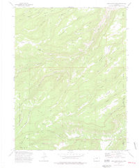
1973 Map of Escalante Forks
USGS Topo · Published 1977About this map
Escalante Forks sits at the junction of remote drainage systems and rugged plateau terrain within the Uncompahgre National Forest during the early 1970s. The landscape is defined by its high mesas and deep gulches, where cattle ranching and early travel routes like the Gunnison Palmer Trail and the Mc Carty Trail cross the territory. Settlements are sparse, represented by the small outpost at Remlap and the eponymous forks.
Find a feature on this map
44 named features on this map. Tap any name to fly to it.
Don’t see what you’re looking for? This feature index may not catch every label — zoom into the map to look around manually.
Map Details
Editions of this 1973 Escalante Forks Map
3 editions found
Other maps of this area

1956 · Moab
USGS Topo · 1:250,000

1959 · Moab
USGS Topo · 1:250,000

1960 · Moab
USGS Topo · 1:250,000

1962 · Moab
USGS Topo · 1:250,000

1964 · Moab
USGS Topo · 1:250,000

1965 · Moab
USGS Topo · 1:250,000
1969 · Triangle Mesa
USGS Topo · 1:24,000
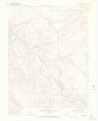
1969 · Dominguez
USGS Topo · 1:24,000
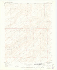
1969 · Good Point
USGS Topo · 1:24,000
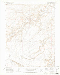
1972 · Jacks Canyon
USGS Topo · 1:24,000