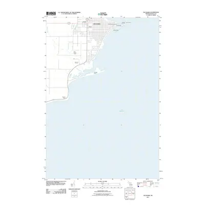
2011 Map of Escanaba
USGS Topo · Published 2011About this map
Escanaba's urban grid and industrial waterfront dominate this Little Bay de Noc landscape, where the city’s development is bounded by the expansive waters of Lake Michigan. The shoreline is defined by prominent geographical features like Sand Point, which hosts the Escanaba Lighthouse, and the low-lying reaches of Sand Island. Inland, the map reveals the civic and social layout of the community, featuring the William Bonifas Auditorium and the Escanaba Post Office near the city center.
Find a feature on this map
16 named features on this map. Tap any name to fly to it.
Don’t see what you’re looking for? This feature index may not catch every label — zoom into the map to look around manually.
Map Details
Editions of this 2011 Escanaba Map
This is the sole edition of this map. No revisions or reprints were ever made.
Other maps of this area
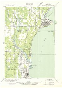
1932 · Gladstone SE
USGS Topo · 1:31,680
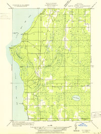
1932 · Rapid River SW
USGS Topo · 1:31,680
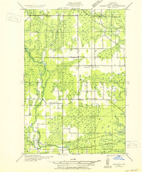
1932 · Gladstone SW
USGS Topo · 1:31,680
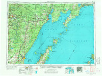
1954 · Escanaba
USGS Topo · 1:250,000
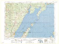
1957 · Escanaba
USGS Topo · 1:250,000
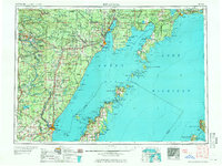
1958 · Escanaba
USGS Topo · 1:250,000
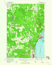
1958 · Gladstone
USGS Topo · 1:62,500
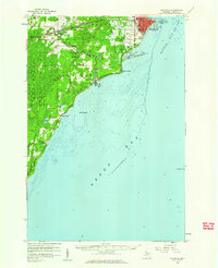
1958 · Escanaba
USGS Topo · 1:62,500
1958 · Peninsula Point
USGS Topo · 1:62,500
1958 · Rapid River
USGS Topo · 1:62,500