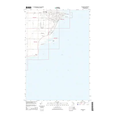
2014 Map of Escanaba
USGS Topo · Published 2014About this map
Escanaba occupies a prominent peninsula along the northern shores of Lake Michigan, where the urban grid terminates at the distinct coastal features of Sand Point and Sand Island. This 2014 survey captures the layout of the city during the early 21st century, showing the established residential and commercial corridors along Ludington St and a succession of numbered avenues. The coastal landscape is shaped by the mouth of Portage Cr, which feeds into Portage Bay near the southern extent of the developed area. To the west, the Delta County Airport and surrounding rural routes like Willow Creek Rd mark the transition from the concentrated waterfront city to the outlying wooded sections of the Upper Peninsula. Local history is anchored by sites like Lakeview Cem and Holy Cross Cem, while the southern shoreline reaches toward Portage Point and Fishery Point, reflecting the region's enduring connection to the water.
Find a feature on this map
64 named features on this map. Tap any name to fly to it.
Don’t see what you’re looking for? This feature index may not catch every label — zoom into the map to look around manually.
Map Details
Editions of this 2014 Escanaba Map
This is the sole edition of this map. No revisions or reprints were ever made.
Other maps of this area
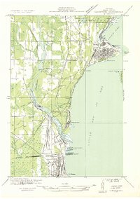
1932 · Gladstone SE
USGS Topo · 1:31,680
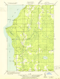
1932 · Rapid River SW
USGS Topo · 1:31,680
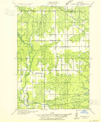
1932 · Gladstone SW
USGS Topo · 1:31,680
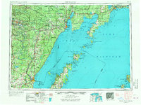
1954 · Escanaba
USGS Topo · 1:250,000
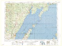
1957 · Escanaba
USGS Topo · 1:250,000
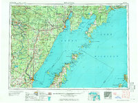
1958 · Escanaba
USGS Topo · 1:250,000
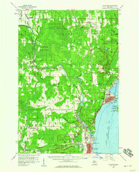
1958 · Gladstone
USGS Topo · 1:62,500
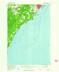
1958 · Escanaba
USGS Topo · 1:62,500
1958 · Peninsula Point
USGS Topo · 1:62,500
1958 · Rapid River
USGS Topo · 1:62,500