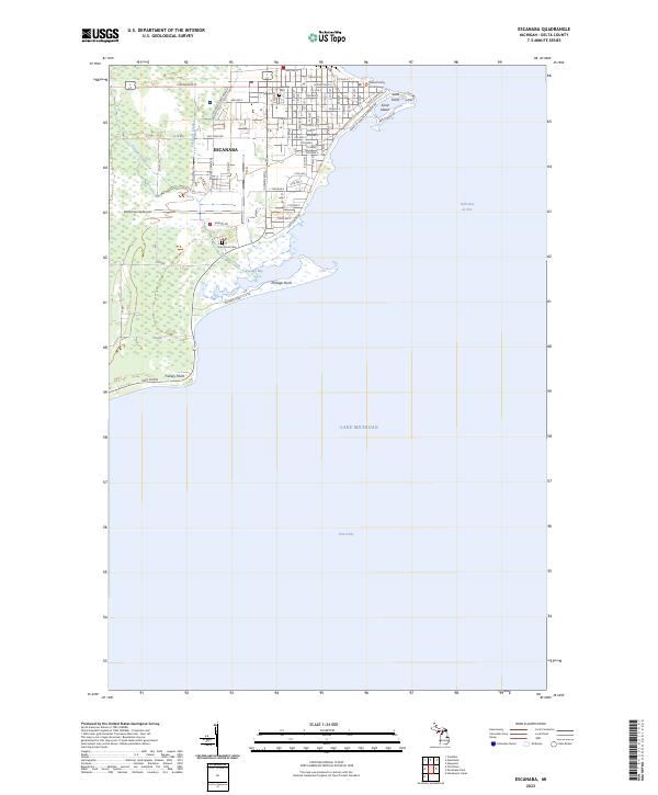
2023 Map of Escanaba
USGS Topo · Published 2023About this map
Escanaba occupies a prominent position on the western shore of Little Bay de Noc, where the city's grid is defined by a rigorous system of numbered avenues. This survey details the urban core and the shoreline's evolution into Green Bay, featuring civic landmarks like the Delta County Courthouse and essential regional infrastructure such as the Delta County Airport. The transition from city streets to the coastal landscape is marked by Sand Point and Sand Island, which frame the northern harbor entrance.
Find a feature on this map
49 named features on this map. Tap any name to fly to it.
Don’t see what you’re looking for? This feature index may not catch every label — zoom into the map to look around manually.
Map Details
Editions of this 2023 Escanaba Map
This is the sole edition of this map. No revisions or reprints were ever made.
Other maps of this area

1932 · Gladstone SE
USGS Topo · 1:31,680

1932 · Rapid River SW
USGS Topo · 1:31,680

1932 · Gladstone SW
USGS Topo · 1:31,680

1954 · Escanaba
USGS Topo · 1:250,000

1957 · Escanaba
USGS Topo · 1:250,000

1958 · Escanaba
USGS Topo · 1:250,000

1958 · Gladstone
USGS Topo · 1:62,500

1958 · Escanaba
USGS Topo · 1:62,500

1958 · Peninsula Point
USGS Topo · 1:62,500
1958 · Rapid River
USGS Topo · 1:62,500