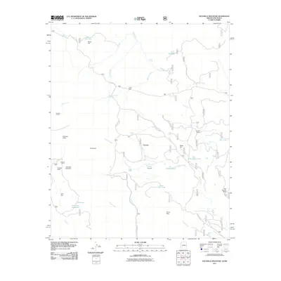
2011 Map of Escudilla Mountain
USGS Topo · Published 2011About this map
Escudilla Mountain dominates this high-altitude landscape of eastern Arizona, where the terrain transitions from steep ridges to expansive upland flats. The small settlement of Troweek sits at a crossroads of forest routes, serving as a gateway to the surrounding wilderness and the historic Escudilla Lookout. The map reveals a complex network of springs and tanks, such as Parson Spring and Gibbons Lake Tank, which are critical water sources in this elevated environment.
Find a feature on this map
46 named features on this map. Tap any name to fly to it.
Don’t see what you’re looking for? This feature index may not catch every label — zoom into the map to look around manually.
Map Details
Editions of this 2011 Escudilla Mountain Map
This is the sole edition of this map. No revisions or reprints were ever made.
Other maps of this area

1886 · St Johns
USGS Topo · 1:250,000

1892 · St Johns
USGS Topo · 1:250,000

1915 · Reserve
USGS Topo · 1:125,000

1918 · Reserve
USGS Topo · 1:125,000

1922 · Nutrioso
USGS Topo · 1:125,000

1954 · Clifton
USGS Topo · 1:250,000

1954 · Saint Johns
USGS Topo · 1:250,000

1957 · Clifton
USGS Topo · 1:250,000

1957 · Saint Johns
USGS Topo · 1:250,000

1958 · Clifton
USGS Topo · 1:250,000