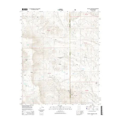
2014 Map of Escudilla Mountain
USGS Topo · Published 2014About this map
Escudilla Mountain dominates the high-elevation landscape of the Apache National Forest in this survey along the Arizona-New Mexico state line. The terrain is defined by a series of named flats and draws, including Steele Flat, Terry Flat, and Toolbox Draw, which reflect a history of timber and grazing activities. The small settlement of Troweek sits centrally, surrounded by an intricate network of water improvements such as Gibbons Lake Tank, Bar C Lake, and Skunk Flat Tank. These features, alongside numerous springs like Sawmill Spring and Parson Spring, underscore the critical importance of water management in these upland forests. Roads such as Stone Creek Rd and Jenkins Creek Rd provide the primary access through the ridges and mesas, including the provocatively named Profanity Ridge and the prominent Hell Roaring Mesa.
Find a feature on this map
71 named features on this map. Tap any name to fly to it.
Don’t see what you’re looking for? This feature index may not catch every label — zoom into the map to look around manually.
Map Details
Editions of this 2014 Escudilla Mountain Map
This is the sole edition of this map. No revisions or reprints were ever made.
Other maps of this area
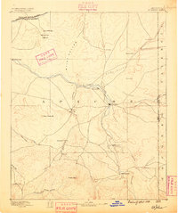
1886 · St Johns
USGS Topo · 1:250,000
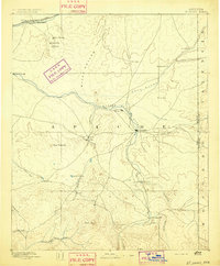
1892 · St Johns
USGS Topo · 1:250,000
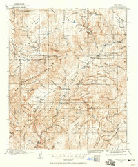
1915 · Reserve
USGS Topo · 1:125,000
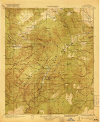
1918 · Reserve
USGS Topo · 1:125,000
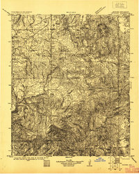
1922 · Nutrioso
USGS Topo · 1:125,000

1954 · Clifton
USGS Topo · 1:250,000

1954 · Saint Johns
USGS Topo · 1:250,000

1957 · Clifton
USGS Topo · 1:250,000

1957 · Saint Johns
USGS Topo · 1:250,000

1958 · Clifton
USGS Topo · 1:250,000