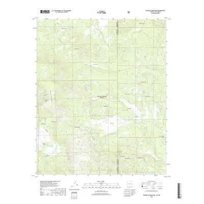
2018 Map of Escudilla Mountain
USGS Topo · Published 2018About this map
Apache National Forest straddles the Arizona and New Mexico border, defined here by high-altitude terrain and numerous mountain springs. The landscape is anchored by the prominent peak of Escudilla Mtn and the adjacent Profanity Ridge, while the high plateau of Terry Flat and Skunk Flat reveal the region's volcanic and geological character. This 2018 survey detail provides a look at the water management and livestock infrastructure of the high country, where numerous tanks and springs like Skunk Flat Tank, Arizona Tank, and Gibbons Lake Tank are scattered across the timbered draws. The settlement of Troweek is situated near Romero Cr, serving as a point of reference in an area otherwise dominated by remote topographic features such as Hell Roaring Mesa and Turner Peak. Stone Creek Rd and various forest routes wind through the draws, connecting the scattered springs that support the high forest ecosystem.
Find a feature on this map
70 named features on this map. Tap any name to fly to it.
Don’t see what you’re looking for? This feature index may not catch every label — zoom into the map to look around manually.
Map Details
Editions of this 2018 Escudilla Mountain Map
This is the sole edition of this map. No revisions or reprints were ever made.
Other maps of this area
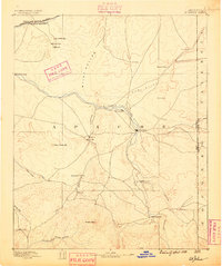
1886 · St Johns
USGS Topo · 1:250,000
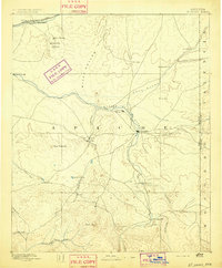
1892 · St Johns
USGS Topo · 1:250,000
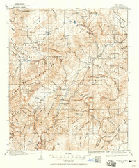
1915 · Reserve
USGS Topo · 1:125,000
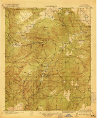
1918 · Reserve
USGS Topo · 1:125,000
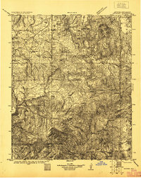
1922 · Nutrioso
USGS Topo · 1:125,000

1954 · Clifton
USGS Topo · 1:250,000

1954 · Saint Johns
USGS Topo · 1:250,000

1957 · Clifton
USGS Topo · 1:250,000

1957 · Saint Johns
USGS Topo · 1:250,000

1958 · Clifton
USGS Topo · 1:250,000