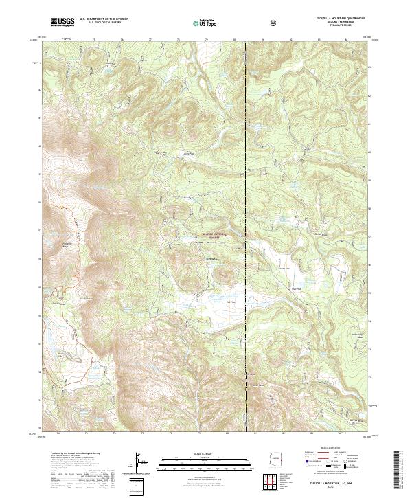
2021 Map of Escudilla Mountain
USGS Topo · Published 2021About this map
Escudilla Mtn dominates this high-altitude landscape along the border of Arizona and New Mexico, where the Apache National Forest transitions across the state line. This modern survey illustrates a terrain defined by volcanic peaks and high mesas, including the prominent Hellroaring Mesa and Turner Peak. The distribution of water features is particularly revealing for this arid environment, showing an extensive network of specialized infrastructure such as Skunk Flat Tank, Cienega Tank, and Gibbons Lake Tank, which are essential for supporting livestock and wildlife in the backcountry.
Find a feature on this map
66 named features on this map. Tap any name to fly to it.
Don’t see what you’re looking for? This feature index may not catch every label — zoom into the map to look around manually.
Map Details
Editions of this 2021 Escudilla Mountain Map
This is the sole edition of this map. No revisions or reprints were ever made.
Other maps of this area

1886 · St Johns
USGS Topo · 1:250,000

1892 · St Johns
USGS Topo · 1:250,000

1915 · Reserve
USGS Topo · 1:125,000

1918 · Reserve
USGS Topo · 1:125,000

1922 · Nutrioso
USGS Topo · 1:125,000

1954 · Clifton
USGS Topo · 1:250,000

1954 · Saint Johns
USGS Topo · 1:250,000

1957 · Clifton
USGS Topo · 1:250,000

1957 · Saint Johns
USGS Topo · 1:250,000

1958 · Clifton
USGS Topo · 1:250,000