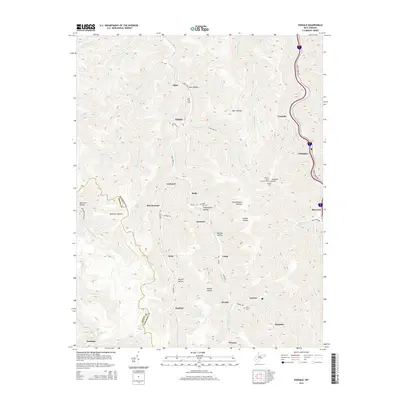
2014 Map of Eskdale
USGS Topo · Published 2014About this map
Cabin Creek and Paint Creek carve deep valleys through this portion of Kanawha County, where the landscape is defined by the industrial and social infrastructure of West Virginia coal country. Small mining and residential settlements like Eskdale, Kayford, and Wevaco are closely tied to the geography of the hollows, often centered around narrow rail corridors such as the Cane Fork Yards. The terrain is marked by numerous family and local burying grounds, including Slight Hill Cem, Johnson Cem, and Perry Cem, which provide essential touchpoints for genealogical research in the region.
Find a feature on this map
62 named features on this map. Tap any name to fly to it.
Don’t see what you’re looking for? This feature index may not catch every label — zoom into the map to look around manually.
Map Details
Editions of this 2014 Eskdale Map
This is the sole edition of this map. No revisions or reprints were ever made.
Other maps of this area

1891 · Oceana
USGS Topo · 1:125,000

1891 · Raleigh
USGS Topo · 1:125,000

1893 · Oceana
USGS Topo · 1:125,000

1897 · Kanawha Falls
USGS Topo · 1:125,000

1897 · Raleigh
USGS Topo · 1:125,000

1898 · Oceana
USGS Topo · 1:125,000

1899 · Charleston
USGS Topo · 1:125,000

1900 · Kanawha Falls
USGS Topo · 1:125,000

1901 · Kanawha Falls
USGS Topo · 1:125,000

1902 · Raleigh
USGS Topo · 1:125,000