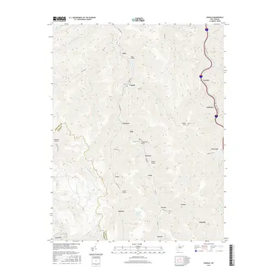
2016 Map of Eskdale
USGS Topo · Published 2016About this map
Cabin Creek and Paint Creek serve as the primary lifelines for this rugged section of the West Virginia coalfields, where settlements are tightly clustered along narrow valley floors. The community of Eskdale sits centrally along Cabin Creek Rd, surrounded by numerous hollows and steep ridges such as Bear Hollow and Johnson Knob. Further south, the landscape is dotted with smaller communities including Leewood, Acme, and Kayford, reflecting the long-standing industrial and residential patterns of the Kanawha and Boone County borders.
Find a feature on this map
65 named features on this map. Tap any name to fly to it.
Don’t see what you’re looking for? This feature index may not catch every label — zoom into the map to look around manually.
Map Details
Editions of this 2016 Eskdale Map
This is the sole edition of this map. No revisions or reprints were ever made.
Other maps of this area

1891 · Oceana
USGS Topo · 1:125,000

1891 · Raleigh
USGS Topo · 1:125,000

1893 · Oceana
USGS Topo · 1:125,000

1897 · Kanawha Falls
USGS Topo · 1:125,000

1897 · Raleigh
USGS Topo · 1:125,000

1898 · Oceana
USGS Topo · 1:125,000

1899 · Charleston
USGS Topo · 1:125,000

1900 · Kanawha Falls
USGS Topo · 1:125,000

1901 · Kanawha Falls
USGS Topo · 1:125,000

1902 · Raleigh
USGS Topo · 1:125,000