2023 Map of Eskdale
USGS Topo · Published 2023About this map
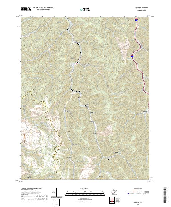
Cabin Creek and its many winding tributaries define the settlement patterns of this West Virginia landscape, where small communities are strung along narrow valley floors. Recent data shows the concentration of historical landmarks in the hills, including several family and industrial burial sites such as the Red Warrior Cem and the Truax-Traer Company Cem near Decota. The map reveals the intricate network of hollows that historically supported the regional coal economy, with names like Powerhouse Hollow and Garden Hollow pointing to past industrial activity. Moving toward the eastern edge, Paint Creek parallels a primary transportation corridor through Nuckolls and Whittaker, while the southern reaches of the quadrangle encompass the communities of Wevaco and Republic near the Boone and Kanawha county line.
Find a feature on this map
65 named features on this map. Tap any name to fly to it.
Don’t see what you’re looking for? This feature index may not catch every label — zoom into the map to look around manually.
Map Details
Editions of this 2023 Eskdale Map
This is the sole edition of this map. No revisions or reprints were ever made.