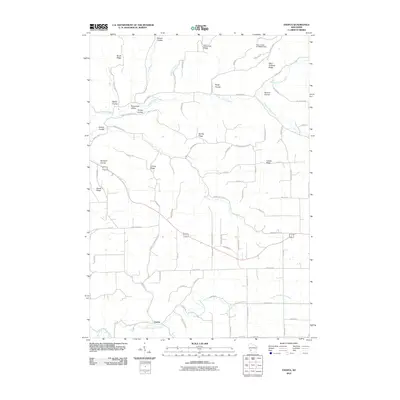
2010 Map of Esofea
USGS Topo · Published 2010About this map
The settlement of Esofea lies at the southern edge of this West-central Wisconsin landscape, where the North Fork Bad Axe River winds through the valley floor. This 2010 survey illustrates the classic driftless area topography, defined by an intricate network of deep coulees and high ridges that have dictated the region's agricultural and road patterns for generations. To the north, the Coon Creek 53 D6025 Dam manages the flow of Coon Creek, while numerous smaller tributaries like Timber Coulee Creek and German Coulee Creek carve through the terrain. The map is particularly rich with family-named geographic markers such as Lindvig Ridge, Lovaas Ridge, and West Portland Ridge, reflecting the Scandinavian and Central European heritage of the settlers who established farms in Bohemian Valley and Rundahl Coulee. This layout of ridges and coulees remains the primary structural element of the local landscape.
Find a feature on this map
75 named features on this map. Tap any name to fly to it.
Don’t see what you’re looking for? This feature index may not catch every label — zoom into the map to look around manually.
Map Details
Editions of this 2010 Esofea Map
This is the sole edition of this map. No revisions or reprints were ever made.
Other maps of this area

1909 · Sparta
USGS Topo · 1:62,500

1923 · Viroqua
USGS Topo · 1:62,500

1926 · Stoddard
USGS Topo · 1:62,500

1926 · Viroqua
USGS Topo · 1:62,500

1927 · La Crosse
USGS Topo · 1:62,500

1930 · La Crosse
USGS Topo · 1:62,500

1947 · Sparta
USGS Topo · 1:62,500

1949 · Sparta
USGS Topo · 1:62,500

1958 · La Crosse
USGS Topo · 1:250,000

1961 · La Crosse
USGS Topo · 1:250,000