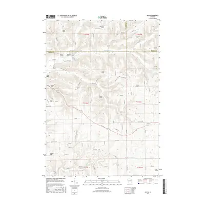
2016 Map of Esofea
USGS Topo · Published 2016About this map
The Driftless Area of Wisconsin is defined here by its complex system of coulees and ridges, where the N Fork Bad Axe River and Timber Coulee Cr have carved deep valleys into the landscape. The settlement of Coon Valley sits at the northwestern edge, while the smaller community of Esofea anchors the southern reaches. This geography is deeply reflected in the naming of the land, with distinct features like Bohemian Ridge, Bohemian Valley, and German Coulee Rd pointing to the nineteenth-century ethnic settlements that shaped the agricultural layout of Vernon County. The ridge-and-valley network dictated the development of the road system, which follows the winding terrain through Spring Coulee and across Pumpkin Ridge. The map captures a mature rural landscape where long-established family names are preserved in landmarks such as Lindvig Ridge and Lovaas Ridge.
Find a feature on this map
72 named features on this map. Tap any name to fly to it.
Don’t see what you’re looking for? This feature index may not catch every label — zoom into the map to look around manually.
Map Details
Editions of this 2016 Esofea Map
This is the sole edition of this map. No revisions or reprints were ever made.
Other maps of this area

1909 · Sparta
USGS Topo · 1:62,500

1923 · Viroqua
USGS Topo · 1:62,500

1926 · Stoddard
USGS Topo · 1:62,500

1926 · Viroqua
USGS Topo · 1:62,500

1927 · La Crosse
USGS Topo · 1:62,500

1930 · La Crosse
USGS Topo · 1:62,500

1947 · Sparta
USGS Topo · 1:62,500

1949 · Sparta
USGS Topo · 1:62,500

1958 · La Crosse
USGS Topo · 1:250,000

1961 · La Crosse
USGS Topo · 1:250,000