
1953 Map of Espanola
USGS Topo · Published 1954About this map
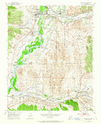
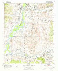
Espanola serves as a central hub at the confluence of the Rio Grande and the Santa Cruz River, anchoring a landscape defined by historic land grants and traditional water management. The 1950s geography reveals an intricate network of irrigation ditches such as the Mexican Ditch and La Mesilla Ditch, alongside numerous acequias and flumes that sustain the valley's agricultural life. This survey captures the distinct boundaries and settlements of the Santa Clara Pueblo Grant, San Ildefonso Pueblo Grant, and the Jacona Grant. Cultural landmarks range from the Santa Clara School (Aband) to the San Antonio de Padua del Rancho, reflecting the deep Catholic and Indigenous heritage of the region. Transportation is marked by the Kit Carbon Highway and several large ranching operations like the Slash-H Ranch and Broken Arrow Ranch.
Find a feature on this map
71 named features on this map. Tap any name to fly to it.
Don’t see what you’re looking for? This feature index may not catch every label — zoom into the map to look around manually.
Map Details
Editions of this 1953 Espanola Map
Other maps of this area

1889 · Santa Fe
USGS Topo · 1:125,000

1892 · Santa Clara
USGS Topo · 1:125,000

1894 · Santa Fe
USGS Topo · 1:125,000

1918 · Abiquiu
USGS Topo · 1:125,000

1952 · White Rock
USGS Topo · 1:24,000

1952 · Puye
USGS Topo · 1:24,000

1953 · Tesuque
USGS Topo · 1:24,000

1953 · Chili
USGS Topo · 1:24,000

1953 · San Juan Pueblo
USGS Topo · 1:24,000

1953 · Horcado Ranch
USGS Topo · 1:24,000