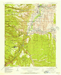
1953 Map of Espanola
USGS Topo · Published 1958About this map
Santa Clara Pueblo and the surrounding ancestral lands define this mid-century landscape along the Rio Grande. The map documents a complex system of land grants and reservations, including the San Ildefonso Indian Reservation and the Pojoaque Pueblo Grant, illustrating how historical land tenure shaped Northern New Mexico's development. Settlement patterns are concentrated in the fertile valleys of the Santa Cruz River and Pojoaque River, where small communities like Jacona and Santo Niño sit in proximity to ancient archaeological sites.
Find a feature on this map
88 named features on this map. Tap any name to fly to it.
Don’t see what you’re looking for? This feature index may not catch every label — zoom into the map to look around manually.
Map Details
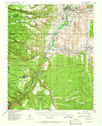
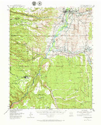
Editions of this 1953 Espanola Map
3 editions found
Other maps of this area

1889 · Santa Fe
USGS Topo · 1:125,000

1892 · Santa Clara
USGS Topo · 1:125,000

1894 · Santa Fe
USGS Topo · 1:125,000

1918 · Abiquiu
USGS Topo · 1:125,000

1951 · Agua Fria
USGS Topo · 1:24,000

1952 · Santa Fe
USGS Topo · 1:24,000

1952 · White Rock
USGS Topo · 1:24,000

1952 · Frijoles
USGS Topo · 1:24,000

1952 · Puye
USGS Topo · 1:24,000

1952 · Montoso Peak
USGS Topo · 1:24,000