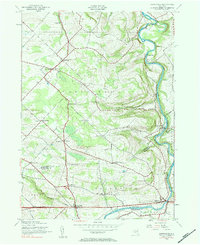
1943 Map of Esperance
USGS Topo · Published 1984About this map
Schoharie Creek defines the eastern boundary of this 1943 survey, carving a deep valley through the limestone and shale uplands of Montgomery and Schoharie counties. The landscape is characterized by a dense network of district schools and named crossroads that served the agricultural community during the early 1940s. Many of these small social centers, such as Carytown Sch and Mountanye Sch, provide critical landmarks for genealogists tracing family roots in the town of Charleston.
Find a feature on this map
44 named features on this map. Tap any name to fly to it.
Don’t see what you’re looking for? This feature index may not catch every label — zoom into the map to look around manually.
Map Details
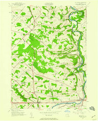
Editions of this 1943 Esperance Map
2 editions found
Other maps of this area

1895 · Amsterdam
USGS Topo · 1:62,500

1896 · Fonda
USGS Topo · 1:62,500

1898 · Fonda
USGS Topo · 1:62,500

1898 · Schoharie
USGS Topo · 1:62,500

1900 · Schoharie
USGS Topo · 1:62,500

1900 · Schoharie
USGS Topo · 1:31,680

1900 · Berne
USGS Topo · 1:62,500

1902 · Fonda
USGS Topo · 1:62,500

1903 · Berne
USGS Topo · 1:62,500

1931 · Amsterdam
USGS Topo · 1:62,500