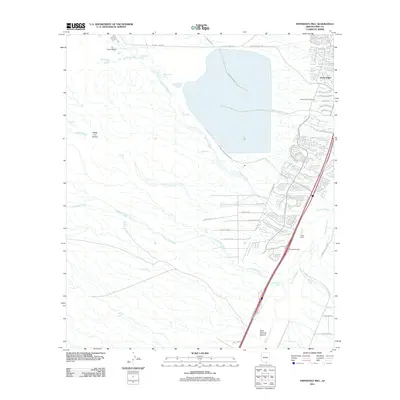
2011 Map of Esperanza Mill
USGS Topo · Published 2011About this map
The Esperanza Mill and its associated industrial infrastructure anchor the northern reaches of this Pima County landscape, where the Santa Cruz Valley transitions into the arid western uplands. The drainage patterns of the Santa Cruz River and its various tributaries, including Amargosa Wash and Escondido Wash, dominate the terrain, illustrating the hydrological management essential to this desert region. Residential expansion is visible along the eastern edge, with the development of Green Valley and Canoa Ranch showing a shift toward suburban and recreational land use, exemplified by the Desert Hills Golf Course.
Find a feature on this map
53 named features on this map. Tap any name to fly to it.
Don’t see what you’re looking for? This feature index may not catch every label — zoom into the map to look around manually.
Map Details
Editions of this 2011 Esperanza Mill Map
This is the sole edition of this map. No revisions or reprints were ever made.
Other maps of this area

1904 · Patagonia
USGS Topo · 1:125,000

1905 · Patagonia
USGS Topo · 1:125,000

1920 · Arivaca
USGS Topo · 1:125,000

1922 · Agus Caliente
USGS Topo · 1:62,500

1925 · Samaniego Peak
USGS Topo · 1:62,500

1926 · Helvetia
USGS Topo · 1:62,500

1939 · Twin Buttes
USGS Topo · 1:62,500

1939 · Tubac
USGS Topo · 1:62,500

1941 · Twin Buttes
USGS Topo · 1:62,500

1943 · Tubac
USGS Topo · 1:62,500