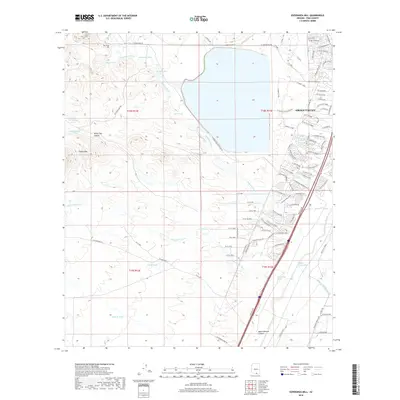
2018 Map of Esperanza Mill
USGS Topo · Published 2018About this map
The industrial operations of Esperanza Mill anchor the northwestern portion of this Pima County landscape, surrounded by a complex system of drainage washes including Amargosa Wash and Demetrie Wash. These watercourses flow through the arid terrain of the Tinaja Hills and White Iron Canyon, feeding into localized reservoirs such as Duval Lake and several named cattle tanks like Hollywood Tank and Salcedo Tank.
Find a feature on this map
96 named features on this map. Tap any name to fly to it.
Don’t see what you’re looking for? This feature index may not catch every label — zoom into the map to look around manually.
Map Details
Editions of this 2018 Esperanza Mill Map
This is the sole edition of this map. No revisions or reprints were ever made.
Other maps of this area

1904 · Patagonia
USGS Topo · 1:125,000

1905 · Patagonia
USGS Topo · 1:125,000

1920 · Arivaca
USGS Topo · 1:125,000

1922 · Agus Caliente
USGS Topo · 1:62,500

1925 · Samaniego Peak
USGS Topo · 1:62,500

1926 · Helvetia
USGS Topo · 1:62,500

1939 · Twin Buttes
USGS Topo · 1:62,500

1939 · Tubac
USGS Topo · 1:62,500

1941 · Twin Buttes
USGS Topo · 1:62,500

1943 · Tubac
USGS Topo · 1:62,500