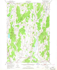
1948 Map of Essex Center
USGS Topo · Published 1967About this map
The Browns River valley anchors this mid-century portrait of Chittenden County, where the agricultural landscape meets the burgeoning infrastructure of the post-war era. The village of Westford sits at the northern reach of the river, while Essex Center serves as a primary hub to the south. The survey reveals a highly localized network of named intersections such as Butlers Corners, Pages Corner, and Bowman Corners, reflecting a time when these rural crossroads were essential landmarks for the local community.
Find a feature on this map
33 named features on this map. Tap any name to fly to it.
Don’t see what you’re looking for? This feature index may not catch every label — zoom into the map to look around manually.
Map Details
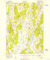
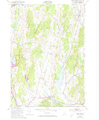
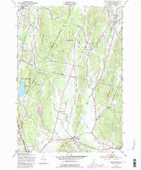
Editions of this 1948 Essex Center Map
4 editions found
Other maps of this area

1906 · Burlington
USGS Topo · 1:62,500

1913 · Milton
USGS Topo · 1:48,000

1915 · Milton
USGS Topo · 1:62,500

1919 · Burlington
USGS Topo · 1:62,500

1921 · Richmond
USGS Topo · 1:48,000

1924 · Camels Hump
USGS Topo · 1:62,500

1925 · Mount Mansfield
USGS Topo · 1:48,000

1927 · Mount Mansfield
USGS Topo · 1:62,500

1944 · Milton
USGS Topo · 1:62,500

1944 · Mount Mansfield
USGS Topo · 1:62,500